---
title: 'Biosphere Reserve "Karstlandschaft Südharz"'
url: 'https://www.meinewaldki.de/en/waldwissen/bks'
markdown: 'https://www.meinewaldki.de/en/waldwissen/bks.md'
lang: en
date: '2026-10-16'
---
# Biosphere Reserve "Karstlandschaft Südharz"
[  ](https://www.meinewaldki.de/en) [  ](https://www.meinewaldki.de/en)- [DE](https://www.meinewaldki.de/waldwissen/bks)
- [EN](https://www.meinewaldki.de/en/waldwissen/bks)
## Biosphere Reserve "Karstlandschaft Südharz"
## Biosphere Reserve "Karstlandschaft Südharz" - Area 11a
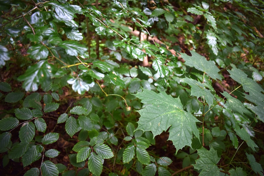 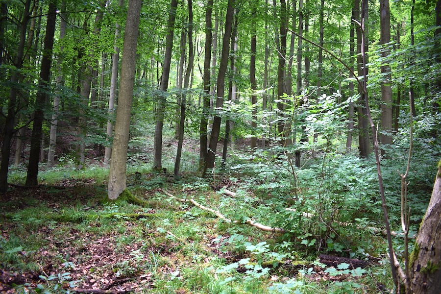 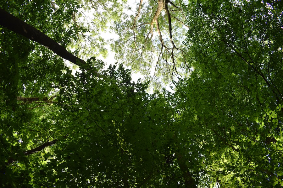
### Key feature: Natura 2000 habitat type 9130
This section of forest can be assigned to Natura 2000 habitat type 9130, Asperulo-Fagetum. Forests of this habitat type are herb-rich but shrub-poor beech or beech-dominated mixed forests, which occur mainly on nutrient-rich sites. Fagus sylvatica dominates the tree layer, while in drier areas pedunculate Quercus petraea, Quercus robur, Carpinus betulus, Tilia cordata and Tilia platyphyllos may also occur. The herb layer includes species such as Galium odoratum, Actaea spicata, Daphne mezereum, Lathyrus vernus, Cardamine bulbifera and Melica uniflora. The spring aspect is often particularly pronounced here.
Further information on this habitat type is available at website [Natura 2000](https://natura2000.sachsen-anhalt.de/arten-lebensraeume/lebensraumtypen/uebersicht-lebensraumtypen/waldmeister-buchenwald-asperulo-fagetum-lrt-9130.)
### Forest profile

#### Coverage of deadwood
**Large deadwood:** standing 0 %, lying down 0 %
**Medium deadwood:** standing 0 %, lying down 5 %
**Fine deadwood:** 5 %
**Rootstocks:** 9 pcs
*Number of old trees (BHD > 80cm):* 0
*Number of habitat trees:* *2*

#### Cover tree layers
**Tree layer 1:** 60 % (Gemeine Esche, Rotbuche, Traubeneiche)
**Tree layer 2:** 15 % (Rotbuche, Traubeneiche, Bergahorn)
**Tree layer 3:** 50 % (Gemeine Esche, Rotbuche, Schwarzer Hollunder, Bergahorn, Spitzahorn)
**Herb layer:** 80 % (Einblütiges Perlgras, Gewöhnliche Goldnessel, Ausdauerndes Bindelkraut, Echte Sternmiere, Echte Nelkenwurz)
**Growth classes:** 6

#### Other Information
no impairments found
**Relative crown distance:** loose
**Mean crown defoliation:** 22.5 %
## Biosphere Reserve "Karstlandschaft Südharz" - Area 14a
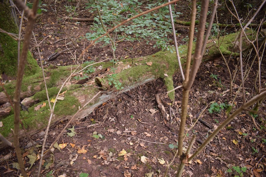  
### Key feature: (Lying) deadwood
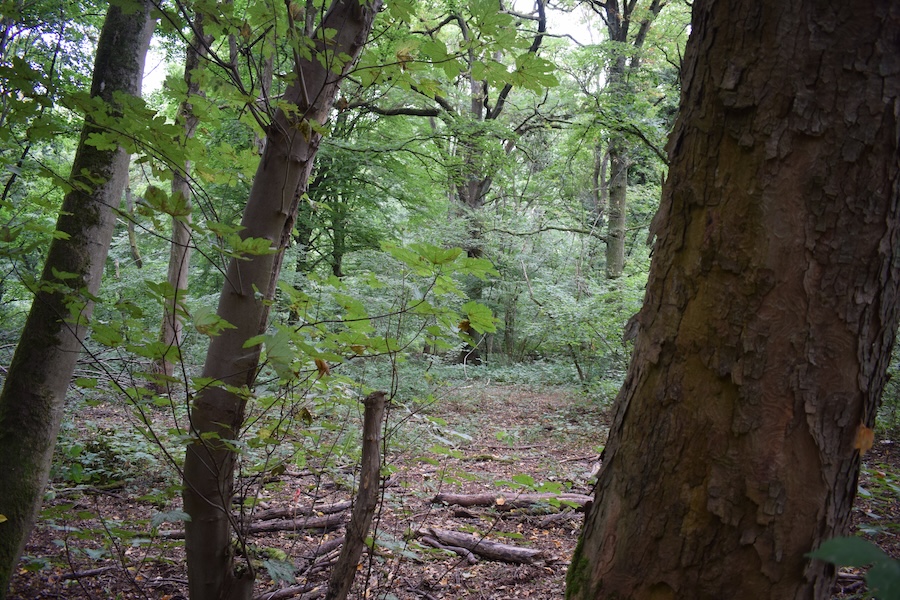
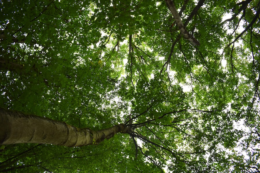
In this forest section, we recorded a considerable amount of lying deadwood. Deadwood, in all its forms (fine or large, lying or standing), is a key component of biodiversity and naturalness in forest ecosystems. Approximately one quarter of forest species depend on deadwood for various reasons, particularly many insects and fungi. However, mosses, lichens, and a range of vertebrate species also rely on deadwood habitats.
More info:
### Forest profile

#### Coverage of deadwood
**Large deadwood:** standing 0 %, lying down 0 %
**Medium deadwood:** standing 0 %, lying down 15 %
**Fine deadwood:** 20 %
**Rootstocks:** 0 pcs
*Number of old trees (BHD > 80cm):* 0
*Number of habitat trees:* *2*

#### Cover tree layers
**Tree layer 1:** 80 % (Bergahorn, Traubeneiche)
**Tree layer 2:** 10 % (Hainbuche, Bergahorn, Gemeine Hasel)
**Tree layer 3:** 50 % (Schwarzer Hollunder, Bergahorn, Gemeine Hasel)
**Herb layer:** 80 % (Gewöhnliches Leberblümchen, Gewöhnlicher Efeu, Vogel-Sternmiere)
**Growth classes:** 6

#### Other Information
no impairments found
**Relative crown distance:** closed to loose
**Mean crown defoliation:** 34 %
## Biosphere Reserve "Karstlandschaft Südharz" - Area 1a
  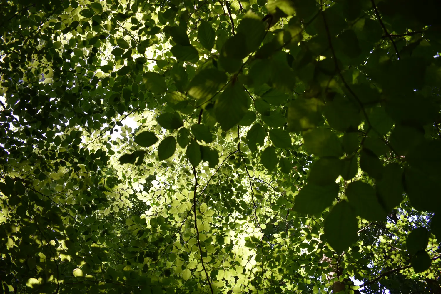
### Key feature: Habitat type 9170
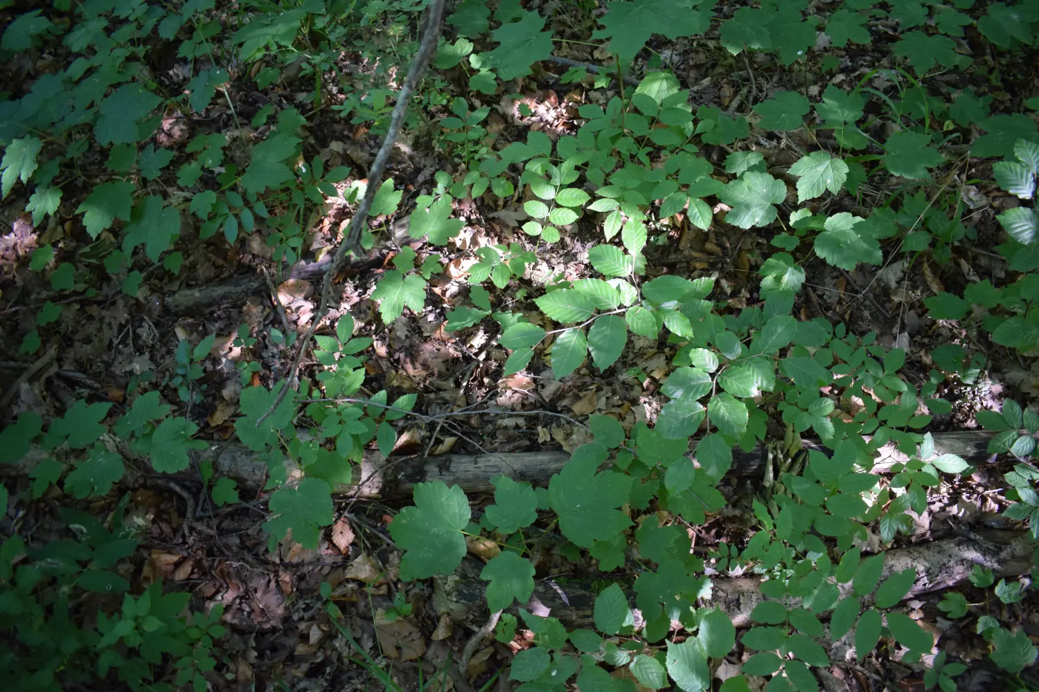
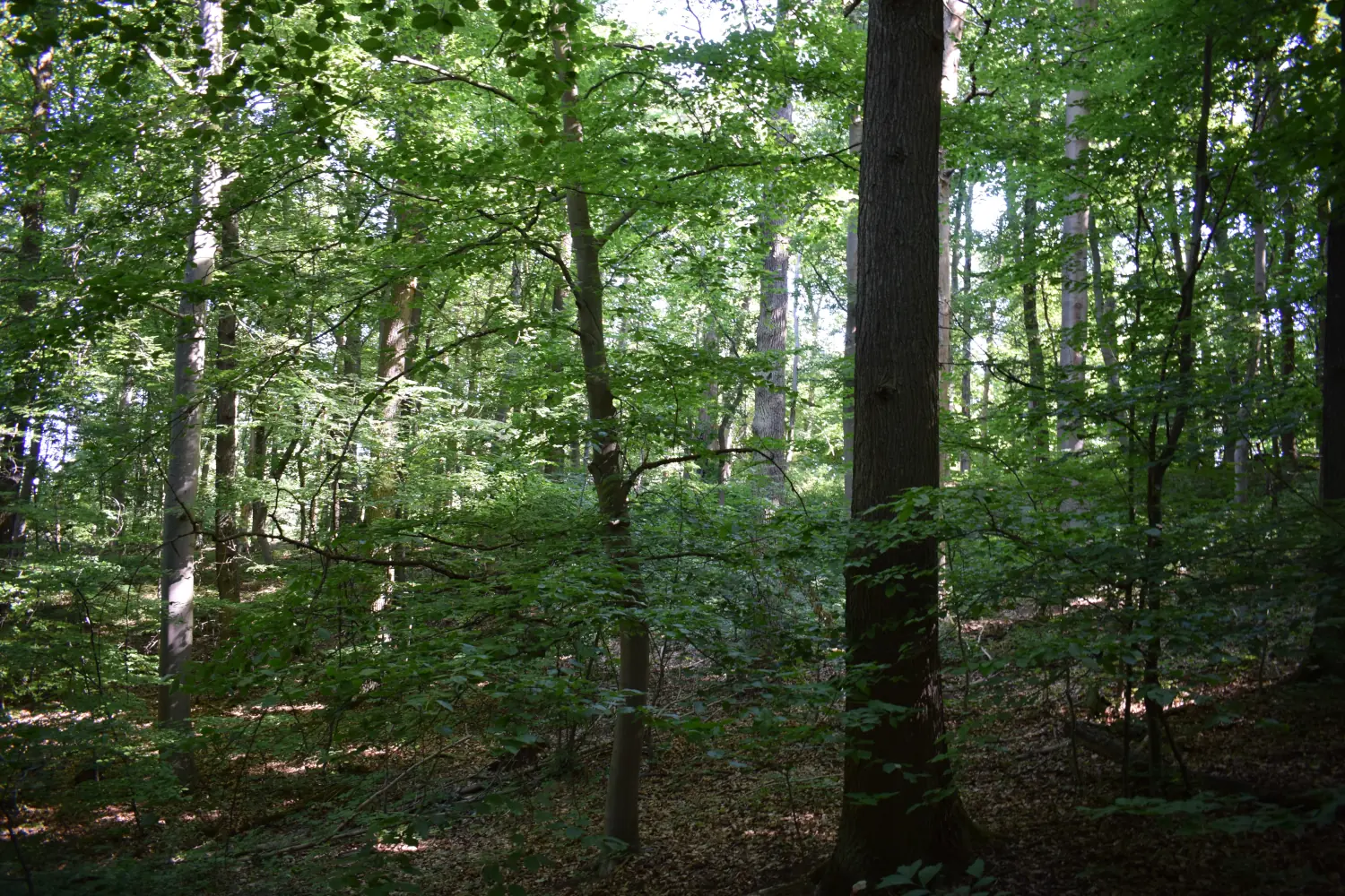
This section of woodland can be assigned to habitat type 9170 (Galio-Carpinetum). This forest type is characterised by the tree species Quercus petraea, Quercus robur, and Carpinus betulus in the tree layer, and by the rather inconspicuous Galium sylvaticum in the herb layer. Galio-Carpinetum is a characteristic forest community in the Central German Dry Region and occurs primarily on dry, warm sites. Other characteristic species that we were able to discover in this section of woodland include Acer pseudoplatanus, Fraxinus excelsior, Anemone nemorosa, and Brachypodium sylvaticum.
You can find more information about the habitat types [here](https://www.deutschlands-natur.de/lebensraeume/laubwaelder/labkraut-eichen-hainbuchenwald-galio-carpinetum/)
### Forest profile

#### Coverage of deadwood
**Large deadwood:** standing 0 %, lying down 0 %
**Medium deadwood:** standing 0 %, lying down 5 %
**Fine deadwood:** 5 %
**Rootstocks:** 3 pcs
*Number of old trees (BHD > 80cm):* 0
*Number of habitat trees:* *1*

#### Cover tree layers
**Tree layer 1:** 60 % (Acer pseudoplatanus, Fagus sylvatica, Quercus petraea)
**Tree layer 2:** 30 % (Fagus sylvatica)
**Tree layer 3:** 40 % (Acer pseudoplatanus, Fraxinus excelsior, Carpinus betulus, Fagus sylvatica)
**Herb layer:** 10 % (Anemone nemorosa, Brachypodium sylvaticum)
**Growth classes:** 6

#### Other Information
no impairments found
**Relative crown distance:** closed
**Mean crown defoliation:** 39 %
## Biosphere Reserve "Karstlandschaft Südharz" - Area 4a
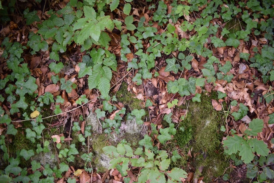 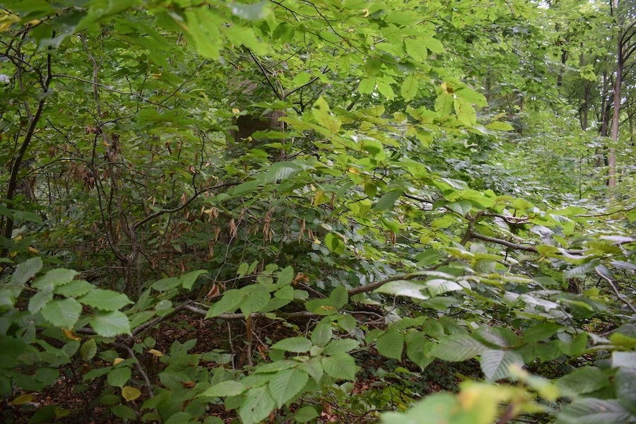 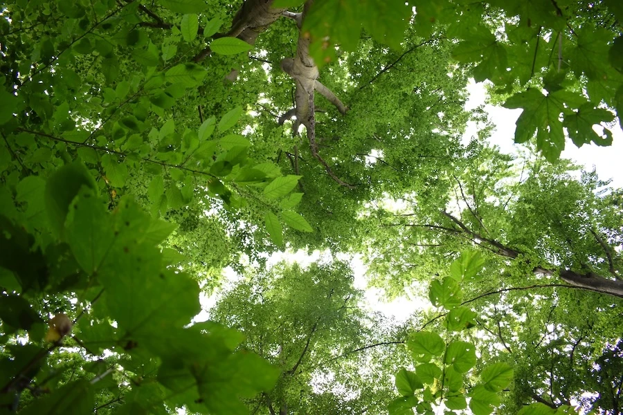
### Key feature: Natura 2000 habitat type 9130
This section of forest can be assigned to Natura 2000 habitat type 9130, Asperulo-Fagetum. Forests of this habitat type are herb-rich but shrub-poor beech or beech-dominated mixed forests, which occur mainly on nutrient-rich sites. Fagus sylvatica dominates the tree layer, while in drier areas pedunculate Quercus petraea, Quercus robur, Carpinus betulus, Tilia cordata and Tilia platyphyllos may also occur. The herb layer includes species such as Galium odoratum, Actaea spicata, Daphne mezereum, Lathyrus vernus, Cardamine bulbifera and Melica uniflora. The spring aspect is often particularly pronounced here.
Further information on this habitat type is available at website [Natura 2000](https://natura2000.sachsen-anhalt.de/arten-lebensraeume/lebensraumtypen/uebersicht-lebensraumtypen/waldmeister-buchenwald-asperulo-fagetum-lrt-9130.)
### Forest profile

#### Coverage of deadwood
**Large deadwood:** standing 0 %, lying down 0 %
**Medium deadwood:** standing 0 %, lying down 5 %
**Fine deadwood:** 10 %
**Rootstocks:** 5 pcs
*Number of old trees (BHD > 80cm):* 0
*Number of habitat trees:* *3*

#### Cover tree layers
**Tree layer 1:** 50 % (Rotbuche)
**Tree layer 2:** 0 %
**Tree layer 3:** 90 % (Rotbuche, Sommerlinde, Bergahorn, Hainbuche)
**Herb layer:** 80 % (Gewöhnlicher Efeu, Maiglöckchen, Gewöhnliches Leberblümchen)
**Growth classes:** 4

#### Other Information
no impairments found
**Relative crown distance:** closed to loose
**Mean crown defoliation:** 27.5 %
## Biosphere Reserve "Karstlandschaft Südharz" - Area 5a
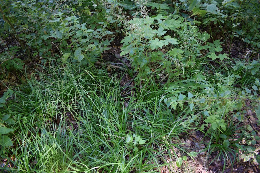 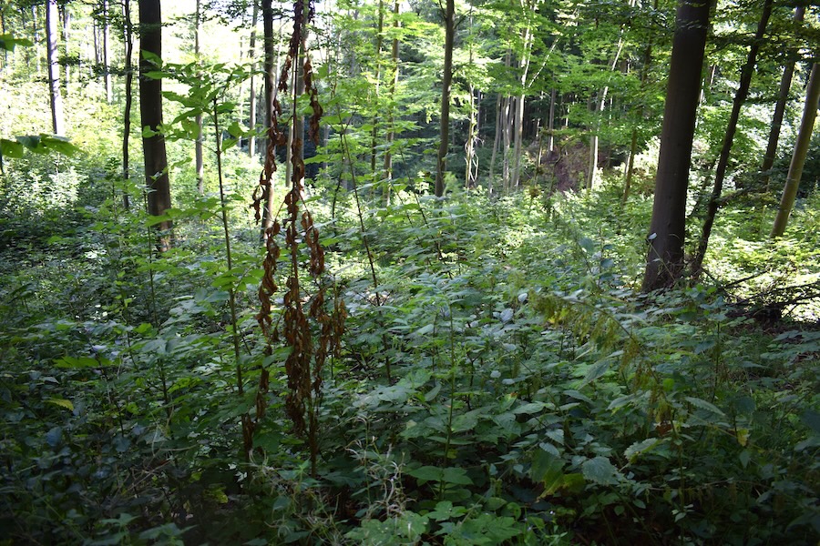 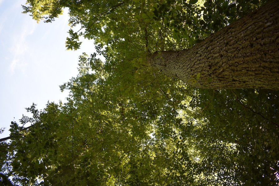
### Key feature: Disturbance indicator species
In this forest section, we found many species that can indicate disturbance. Indicator species of disturbance are plant species that can be sign for, e.g., nutrient enrichment or degradation of a habitat. Examples include Urtica dioica and Rubus fruticosus. They indicate a deviation from the species-rich condition typical for the habitat. A high proportion of disturbance indicator species results in the conservation status of Natura 2000 habitat types being downgraded. An increased occurrence of disturbance indicator species is often caused by nutrient enrichment—particularly excess nitrogen—or by soil compaction.
Further information can be found on the [Website of the State Office for Nature Conservation Saxony-Anhalt](https://lau.sachsen-anhalt.de/fachthemen/naturschutz/naturschutzinformationen/kartieranleitungen)
### Forest profile

#### Coverage of deadwood
**Large deadwood:** standing 0 %, lying down 0 %
**Medium deadwood:** standing 0 %, lying down 15 %
**Fine deadwood:** 5 %
**Rootstocks:** 2 pcs
*Number of old trees (BHD > 80cm):* 0
*Number of habitat trees:* *1*

#### Cover tree layers
**Tree layer 1:** 45 % (Rotbuche, Bergahorn, Traubeneiche)
**Tree layer 2:** 5 % (Rotbuche)
**Tree layer 3:** 30 % (Rotbuche, Bergahorn, Gemeine Esche)
**Herb layer:** 30 % (Wald-Segge, Kletten-Labkraut)
**Growth classes:** 5

#### Other Information
**Unintended effects of forest operations:** low (Rückegasse)
**Disturbance indicator species:** moderate (Brennnessel, Brombeere)
**Relative crown distance:** closed to loose
**Mean crown defoliation:** 31 %
## Biosphere Reserve "Karstlandschaft Südharz" - Area 6a
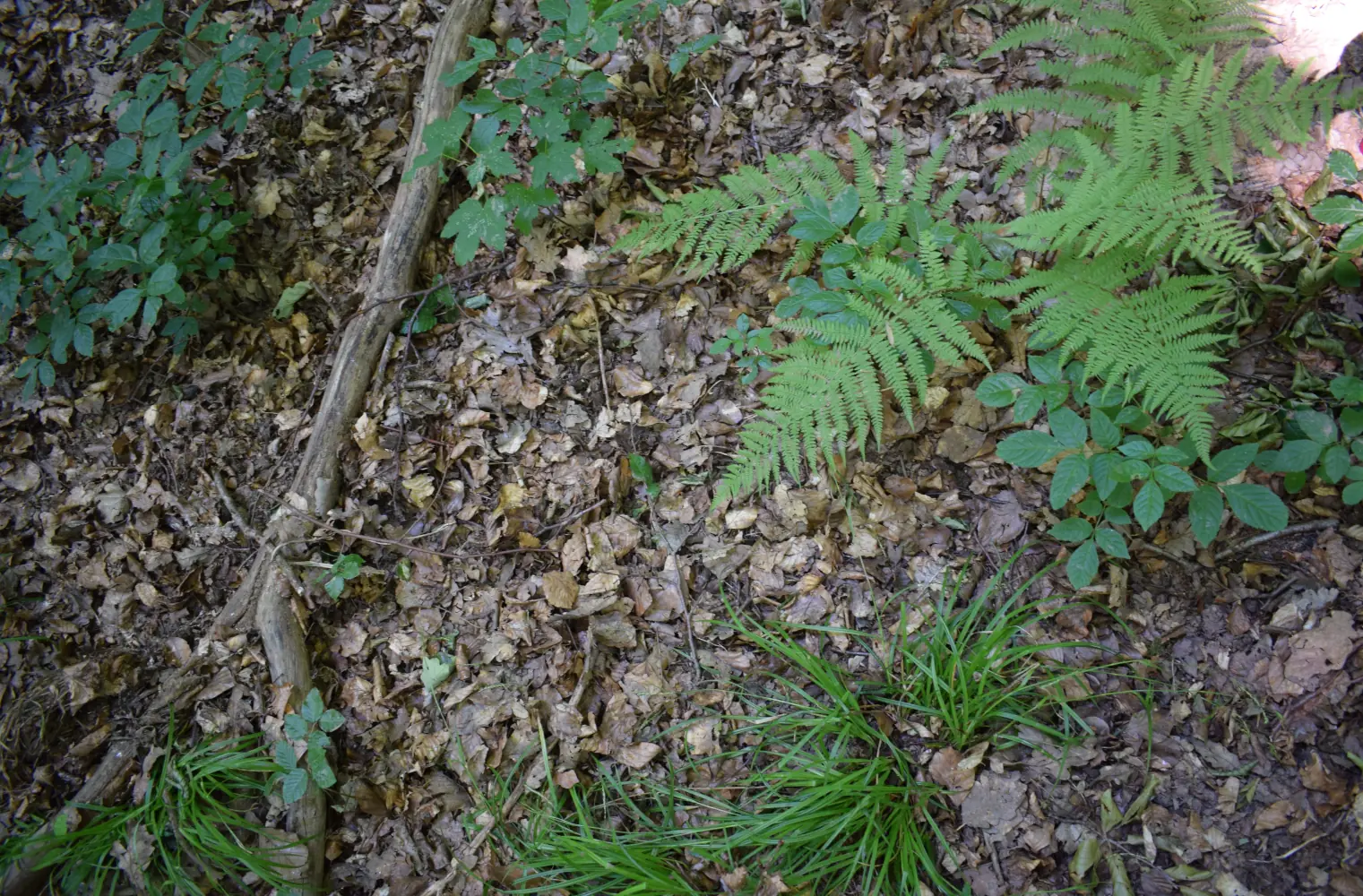 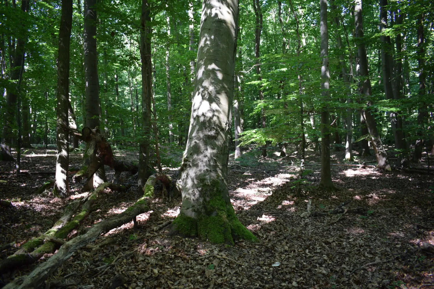 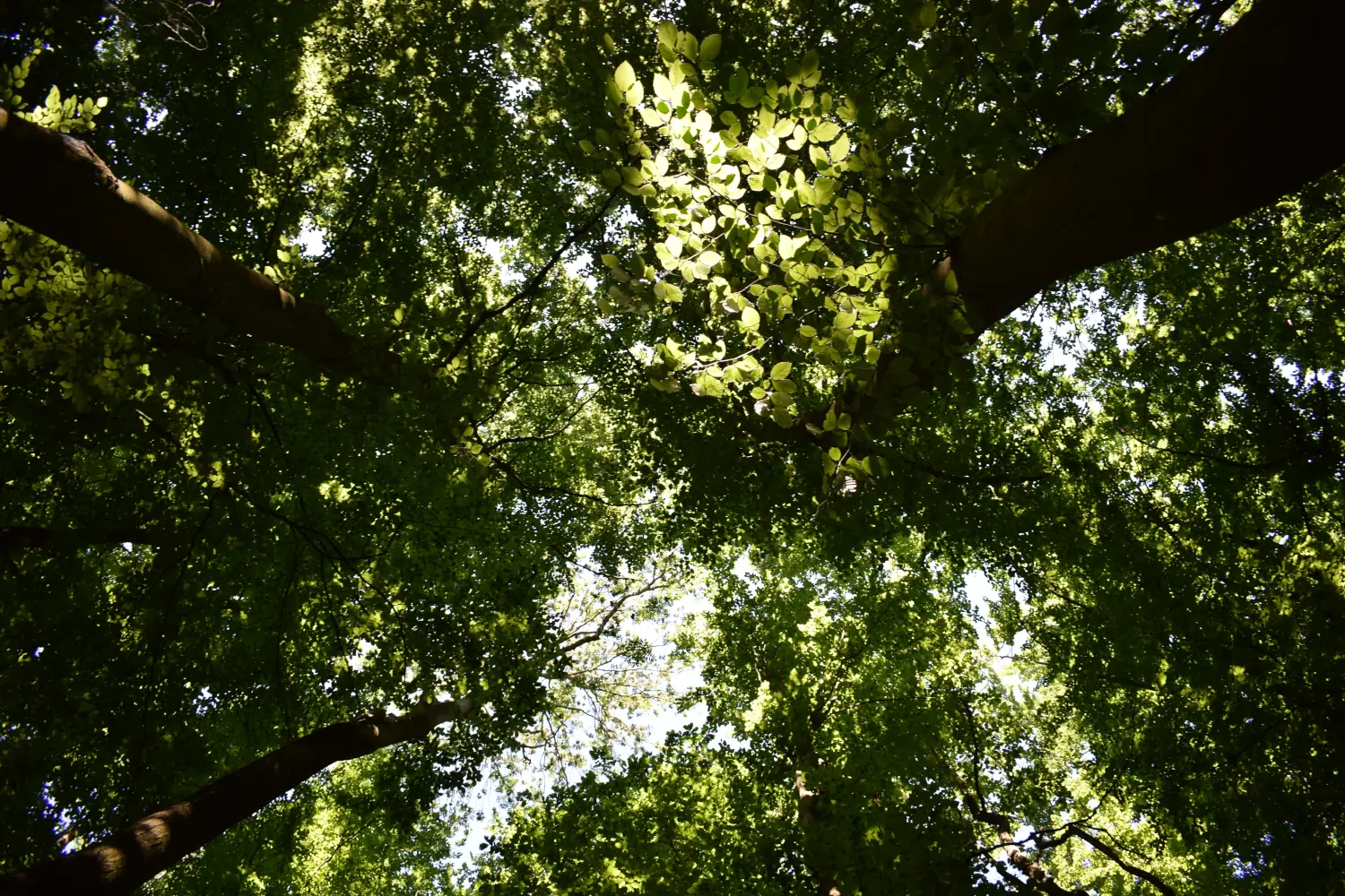
### Key feature: Habitat types (explanation)
This forest section was assigned to the Natura 2000 habitat type 9130 (Asperulo-Fagetum). But what exactly is a Natura 2000 habitat type? The Habitats Directive (Council Directive 92/43/EEC of 21 May 1992, often referred to as the "FFH Directive") serves to restore, maintain, and promote biological diversity by obliging EU Member States to protect natural habitats and wild animals and plants, in particular through a coherent network of protected areas ("Natura 2000").
Annex I of the Directive lists habitat types of Community interest for which special protected areas are to be designated. Of these habitat types, 93 occur in Germany. In addition to habitat type 9130, we also recorded and photographed areas of LRT 9160 (Stellario-Carpinetum) and LRT 9170 (Galio-Carpinetum) while assessing forests in the MeineWaldKI-model-regions.
You can find more information about the habitat types [here](https://www.ffh-gebiete.de/lebensraumtype/steckbriefe/).
### Forest profile

#### Coverage of deadwood
**Large deadwood:** standing 0 %, lying down 0 %
**Medium deadwood:** standing 0 %, lying down 5 %
**Fine deadwood:** 10 %
**Rootstocks:** 5 pcs
*Number of old trees (BHD > 80cm):* 0
*Number of habitat trees:* 0

#### Cover tree layers
**Tree layer 1:** 85 % (Fagus sylvatica, Quercus petraea)
**Tree layer 2:** 5 % (Fagus sylvatica)
**Tree layer 3:** 10 % (Fraxinus excelsior, Fagus sylvatica, Quercus petraea)
**Herb layer:** 5 %
**Growth classes:** 5

#### Other Information
no impairments found
**Relative crown distance:** crowded to closed
**Mean crown defoliation:** 45 %
## Biosphere Reserve "Karstlandschaft Südharz" - Area 7a
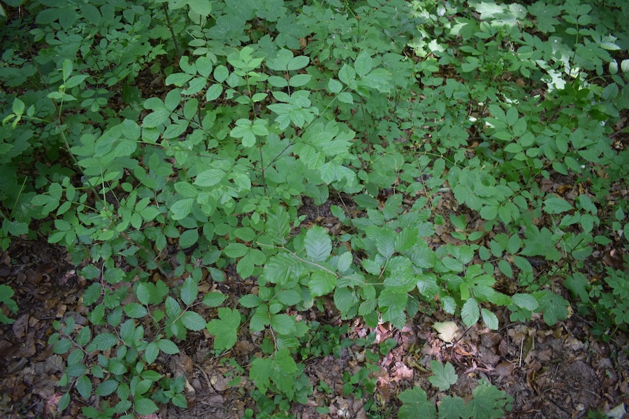 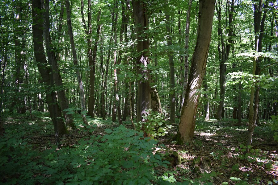 
### Key feature: Special Areas of Conservation (Natura 2000)
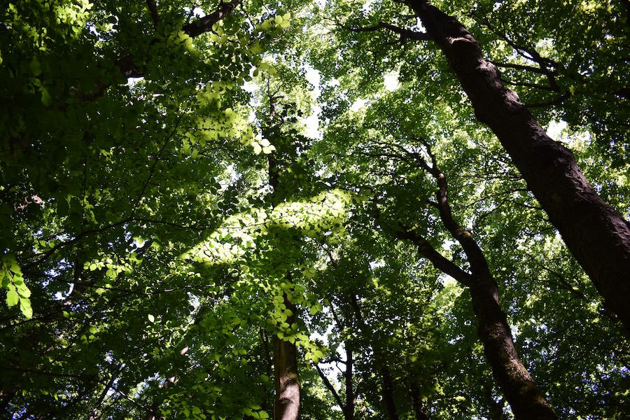
All of the forest sections surveyed in the southern Harz lie within two different Special Areas of Conservation. But what exactly is a Special Area of Conservation? In 1992, the EU decided to establish a network of protected areas, known as Natura 2000, to conserve wild plant and animal species and their natural habitats. To this end, the Habitats Directive was adopted. Its annexes list the habitat types and species of Community interest whose conservation is to be safeguarded through this network of protected areas. The sites designated for this purpose and confirmed by the EU are known as Special Areas of Conservation.
Their aim is to preserve and protect habitat types and species that are endangered or vulnerable. Germany has 4,544 Special Areas of Conservation, covering a total area of 5,451,497 hectares.
You can find out more about Special Areas of Conservation on the website of the [German Federal Agency for Nature Conservation](https://www.bfn.de/natura-2000-gebiete/).
### Forest profile

#### Coverage of deadwood
**Large deadwood:** standing 0 %, lying down 0 %
**Medium deadwood:** standing 0 %, lying down 5 %
**Fine deadwood:** 15 %
**Rootstocks:** 4 pcs
*Number of old trees (BHD > 80cm):* 0
*Number of habitat trees:* *3*

#### Cover tree layers
**Tree layer 1:** 85 % (Bergahorn, Rotbuche)
**Tree layer 2:** 10 % (Rotbuche)
**Tree layer 3:** 30 % (Bergahorn, Rotbuche, Gemeine Esche)
**Herb layer:** 10 % (Gewöhnliche Goldnessel, Stinkender Storchschnabel))
**Growth classes:** 5

#### Other Information
no impairments found
**Relative crown distance:**
**Mean crown defoliation:** 41 %
## Biosphere Reserve "Karstlandschaft Südharz" - Area 8a
### Key feature: Tree species
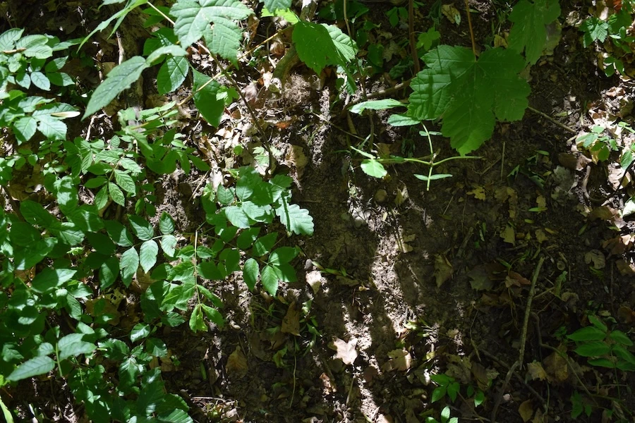
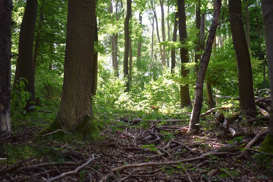
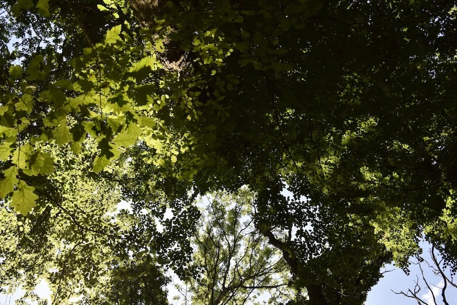
This forest section consists of several tree species. But what are the most common tree species in Germany? According to the results of the Fourth National Forest Inventory, the tree species currently dominating in German forests are Pinus sylvestris (22%), Picea abies (21%), Fagus sylvatica (17%), and Quercus robur/Q. petraea (12%). The remaining 28% consists of a mixture of 47 further tree species and species groups. Diverse tree species compositions contribute to a healthier and more resilient forest, enhancing the ecosystem’s capacity to respond to environmental change.
You can find even more interesting facts explained in [Topics](https://www.bmleh.de/DE/themen/wald/wald-in-deutschland/bundeswaldinventur.html) and [Lebensraum](https://www.bundeswaldinventur.de/vierte-bundeswaldinventur-2022/lebensraum-wald#c56994) of the Federal Forest Inventory.
### Forest profile

#### Coverage of deadwood
**Large deadwood:** standing 0 %, lying down 0 %
**Medium deadwood:** standing 0 %, lying down 10 %
**Fine deadwood:** 10 %
**Rootstocks:** 2 pcs
*Number of old trees (BHD > 80cm):* 0
*Number of habitat trees:* *2*

#### Cover tree layers
**Tree layer 1:** 60 % (Traubeneiche, Gemeine Esche, Rotbuche)
**Tree layer 2:** 5 % (Rotbuche)
**Tree layer 3:** 60 % (Bergahorn, Gemeine Esche, Schwarzer Hollunder)
**Herb layer:** 40 % (Nickendes Perlgras, Ausdauerndes Bingelkraut)
**Growth classes:** 6

#### Other Information
**Abiotic impacts:** low (Windwurd)
**Relative crown distance:** crowded, closed to loose
**Mean crown defoliation:** 50 %
## Biosphere Reserve "Karstlandschaft Südharz" - Area 9a
### Key feature: Core zone
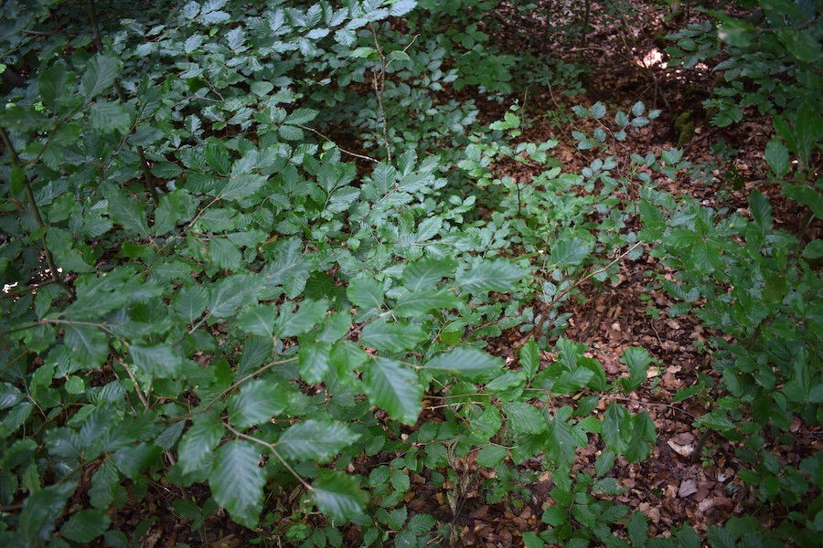
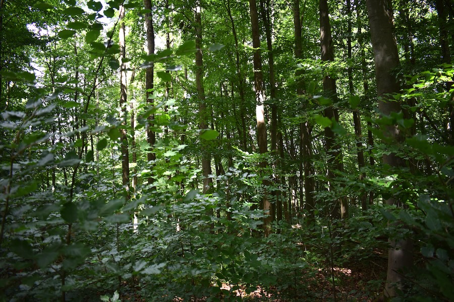
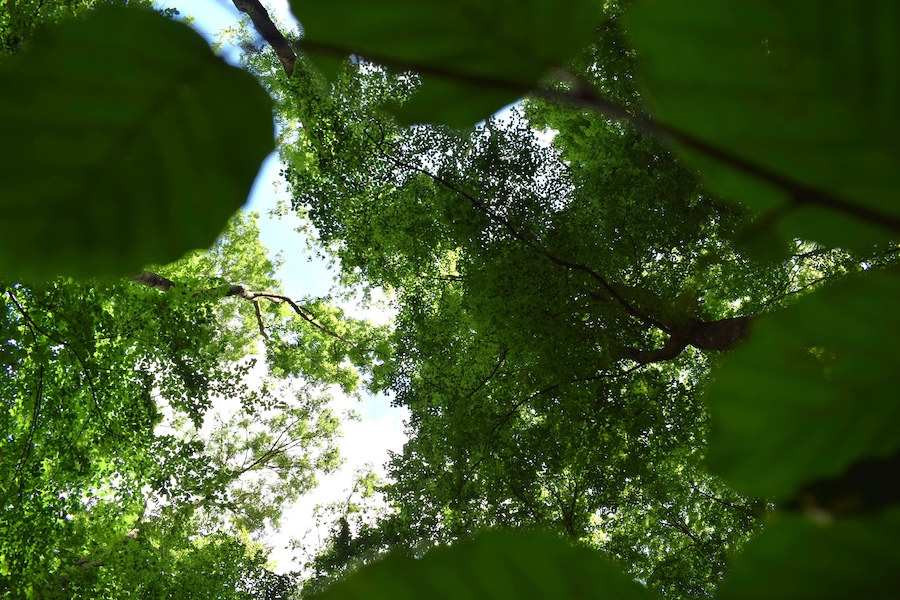
This section of forest forms part of the core zone of the Karst Landscape South Harz Biosphere Reserve. But what does that mean? Biosphere reserves are always divided into three zones with differing levels of protection:
1)The core zone is the most strictly protected area and covers at least 3% of the total area. Here, a non-intervention approach applies: the forest is not actively managed, but is instead largely left to develop naturally. Access to the core zone is generally permitted only for research, monitoring or educational purposes.
2)The buffer zone is intended to protect the core zone from external influences.
3)The development zone includes sustainable forms of land use and economic activity. Ecosystems that have developed through historical land use are conserved here under present-day conditions.
You can find out more about the core zone and the biosphere reserve in the [framework concept of the Karst Landscape South Harz Biosphere Reserve](https://www.biosphaerenreservat-karstlandschaft-suedharz.de/wp-content/uploads/2022/01/Kurzfassung_Rahmenkonzept.pdf/)
### Forest profile

#### Coverage of deadwood
**Large deadwood:** standing 0 %, lying down 0 %
**Medium deadwood:** standing 0 %, lying down 5 %
**Fine deadwood:** 5 %
**Rootstocks:** 7 pcs
*Number of old trees (BHD > 80cm):* 0
*Number of habitat trees:* *1*

#### Cover tree layers
**Tree layer 1:** 70 % (Gemeine Esche, Rotbuche)
**Tree layer 2:** 10 % (Rotbuche)
**Tree layer 3:** 60 % (Rotbuche, Gemeine Esche)
**Herb layer:** 10 % (Wald-Segge, Großes Hexenkraut)
**Growth classes:** 6

#### Other Information
no impairments found
**Relative crown distance:** loose to sparse
**Mean crown defoliation:** 51 %
## Biosphere Reserve "Karstlandschaft Südharz" - Area 10a
### Key feature: Biosphere reserves
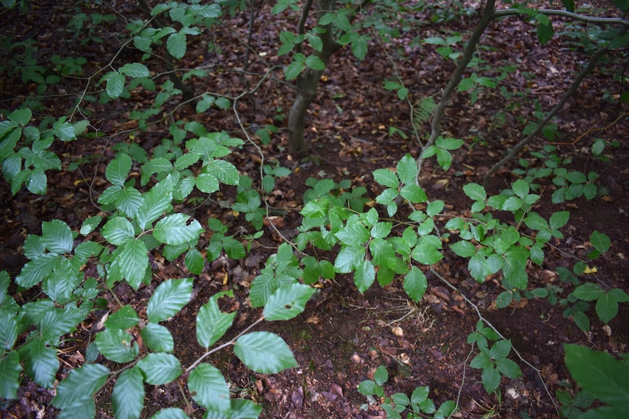
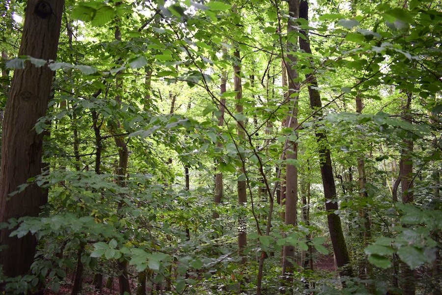
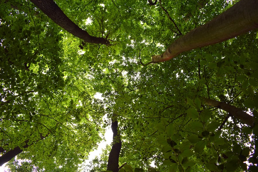
The areas surveyed in the southern Harz form part of the Karst Landscape South Harz Biosphere Reserve. But what exactly is a biosphere reserve? Under Section 25 of the Federal Nature Conservation Act (Bundesnaturschutzgesetz, BNatSchG), biosphere reserves are defined as “areas to be conserved and developed in a uniform manner”. They are large areas that are characteristic of particular landscape types. Across substantial parts of their area, they meet the criteria for a nature reserve, while the remaining areas largely meet the criteria for a landscape protection area.
Biosphere reserves focus on the conservation, development or restoration of landscapes shaped by traditional human land use, together with the diversity of species and habitats that has developed there over time. In addition to conservation, these areas also serve research and the monitoring of nature and landscapes, as well as education for sustainable development.
Further information on biosphere reserves is available on the website of the [German Federal Agency for Nature Conservation](https://www.bfn.de/biosphaerenreservate/).
### Forest profile

#### Coverage of deadwood
**Large deadwood:** standing 0 %, lying down 0 %
**Medium deadwood:** standing 0 %, lying down 0 %
**Fine deadwood:** 5 %
**Rootstocks:** 9 pcs
*Number of old trees (BHD > 80cm):* 0
*Number of habitat trees:* *1*

#### Cover tree layers
**Tree layer 1:** 70 % (Traubeneiche, Rotbuche)
**Tree layer 2:** 10 % (Rotbuche)
**Tree layer 3:** 25 % (Rotbuche)
**Herb layer:** 5 % (Wald-Segge, Einblütiges Perlgras)
**Growth classes:** 0

#### Other Information
no impairments found
**Relative crown distance:** loose
**Mean crown defoliation:** 37.5 %
## Biosphere Reserve "Karstlandschaft Südharz" - Area 16a
### Key feature: (Standing) Deadwood
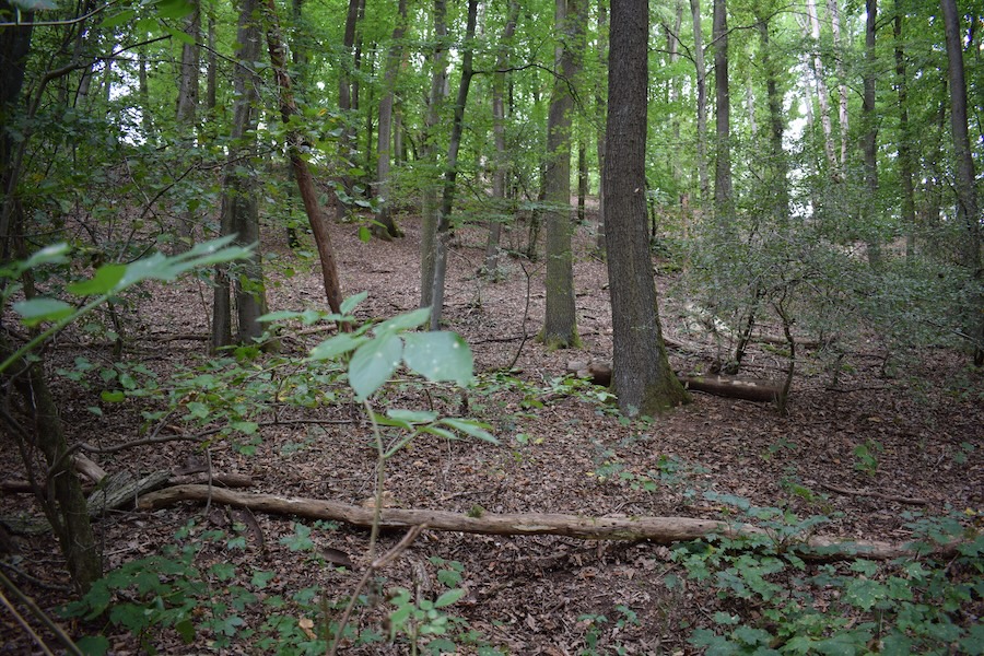
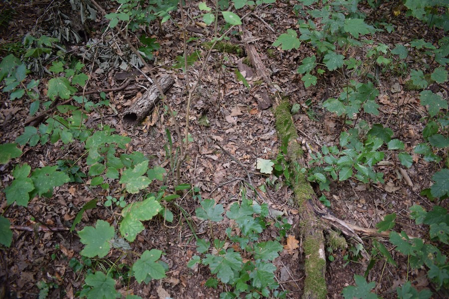
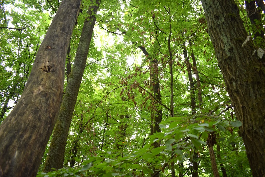
In this forest section, we recorded standing deadwood. Standing deadwood is of particular importance for many insects, birds, and mammals. Bird species such as stock doves, owls, and jackdaws, as well as mammals such as edible dormice and bats, find suitable shelter in woodpecker holes in old trees. The presence of deadwood thus supports a wide variety of organisms and makes a crucial contribution to the ecological diversity of the forest.
The website ["waldwissen.net"](https://www.waldwissen.net/de/lebensraum-wald/naturschutz/totholz-im-wald) presents interesting facts about the [Totholz](https://forsterklaert.de/totholz).
### Forest profile

#### Coverage of deadwood
**Large deadwood:** standing 0 %, lying down 0 %
**Medium deadwood:** standing 5 %, lying down 15 %
**Fine deadwood:** 15 %
**Rootstocks:** 0 pcs
*Number of old trees (BHD > 80cm):* 0
*Number of habitat trees:* *1*

#### Cover tree layers
**Tree layer 1:** 80 % (Traubeneiche, Rotbuche, Hainbuche, Bergahorn)
**Tree layer 2:** 5 % (Hainbuche)
**Tree layer 3:** 20 % (Bergahorn, Rotbuche, Traubeneiche, Feldahorn)
**Herb layer:** 5 % (Gewöhnliche Goldnessel, Hainveilchen)
**Growth classes:** 6

#### Other Information
no impairments found
**Relative crown distance:** closed
**Mean crown defoliation:** 36 %
## Biosphere Reserve "Karstlandschaft Südharz" - Area 17a
### Key feature: Impairments → Forest monitoring
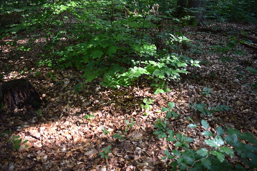
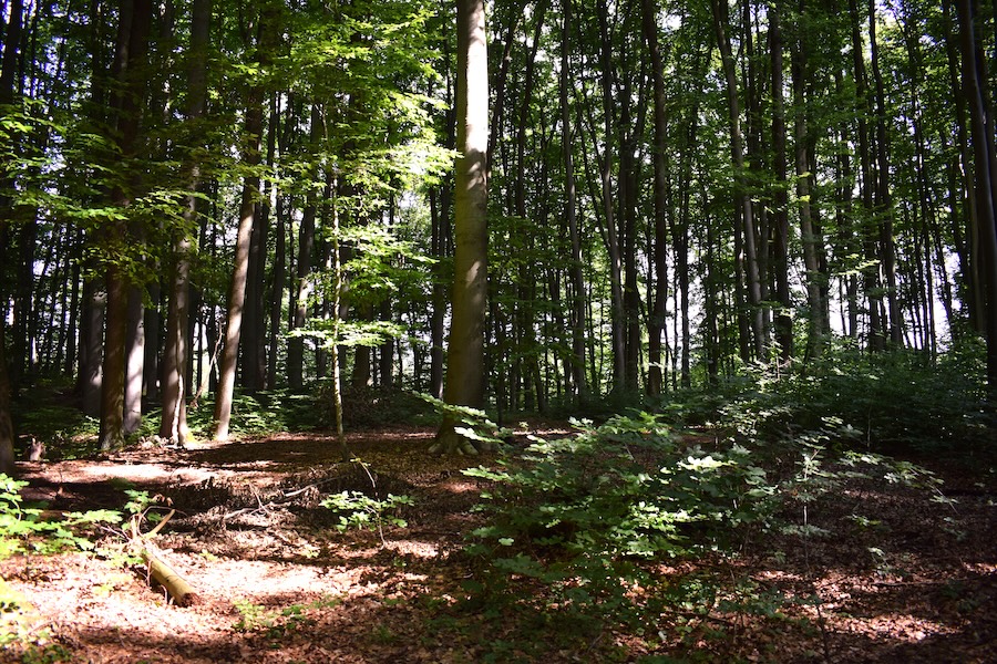
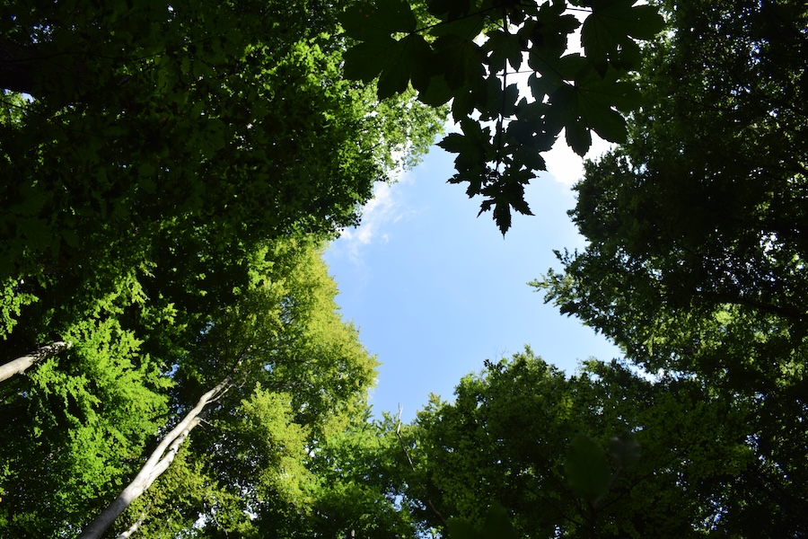
In this forest section, we identified various "impairments" affecting the stand. Forest monitoring exists also to document the presence and development of such impairments. Monitoring refers to the standardised and continuous scientific collection of data. Forest monitoring is therefore the continuous recording of forest condition. Changes in forest condition can be tracked from the continuity of these recordings. The impacts of events such as bark beetle outbreaks or storm damage, or of specific management measures in the forest (plantings, seeding, tending interventions, natural regeneration development, etc.), can thus be observed, and the necessity of protective measures can be decided. Particularly in the context of climate change and forest conversion, analysing changes in forest condition is important for determining what foresters can do to preserve the forest and make it more resilient through ecologically oriented forest management.
More informationen is provided by [BMLE](https://www.bmel-statistik.de/forst-holz/forstwirtschaft-waldmonitoring) and the [Landeszentrum Wald Sachsen-Anhalt](https://landeszentrumwald.sachsen-anhalt.de/fuer-waldbesitzende/waldbauportal/umweltkontrolle).
### Forest profile

#### Coverage of deadwood
**Large deadwood:** standing 0 %, lying down 0 %
**Medium deadwood:** standing 0 %, lying down 20 %
**Fine deadwood:** 15 %
**Rootstocks:** 5 pcs
*Number of old trees (BHD > 80cm):* 0
*Number of habitat trees:* *1*

#### Cover tree layers
**Tree layer 1:** 55 % (Rotbuche, Traubeneiche)
**Tree layer 2:** 1 % (Rotbuche)
**Tree layer 3:** 60 % (Rotbuche, Bergahorn, Schwarzer Hollunder)
**Herb layer:** 25 % (Großes Hexenkraut, Wald-Segge, Gewöhnliche Goldnessel, Brombeere)
**Growth classes:** 6

#### Other Information
**Abiotic impacts:** low (Windwurf)
**Disturbance indicator species:** low (Brombeere)
**Relative crown distance:** loose
**Mean crown defoliation:** 26 %
## Biosphere Reserve "Karstlandschaft Südharz" - Area 21a
### Key feature: Multi-layered structure
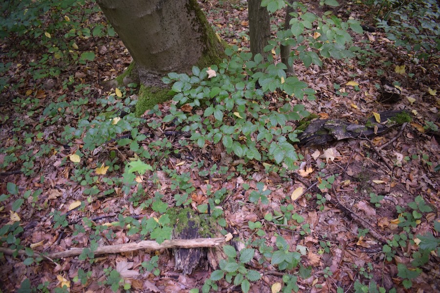
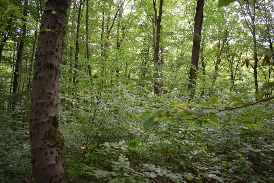
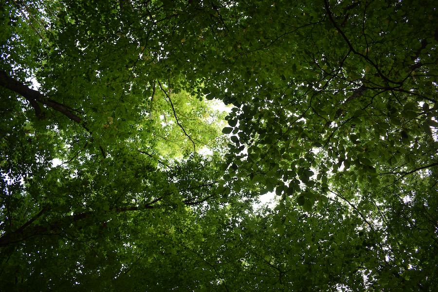
In this forest section, we find all three tree layers. This means that old, very old, and young trees are present. Younger generations are already growing up beneath older trees. This is more natural than, for example, even-aged stands, which consist of only a single tree storey. Multi-layered stands can, for instance, withstand storms better than single-layered stands.
More information is available in the [Fourth National Forest Inventory](https://www.bundeswaldinventur.de/vierte-bundeswaldinventur-2022/lebensraum-wald#c56994).
### Forest profile

#### Coverage of deadwood
**Large deadwood:** standing 0 %, lying down 0 %
**Medium deadwood:** standing 0 %, lying down 0 %
**Fine deadwood:** 10 %
**Rootstocks:** 4 pcs
*Number of old trees (BHD > 80cm):* 0
*Number of habitat trees:* *2*

#### Cover tree layers
**Tree layer 1:** 70 % (Rotbuche, Traubeneiche, Bergahorn)
**Tree layer 2:** 20 % (Rotbuche, Hainbuche, Bergahorn)
**Tree layer 3:** 40 % (Rotbuche, Hainbuche, Bergahorn, Traubeneiche)
**Herb layer:** 10 % (Echte Sternmiere)
**Growth classes:** 6

#### Other Information
no impairments found
**Relative crown distance:** closed
**Mean crown defoliation:** 19 %
## Biosphere Reserve "Karstlandschaft Südharz" - Area 22a
 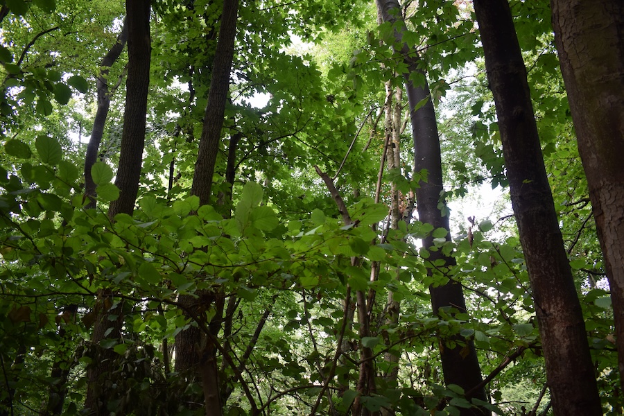 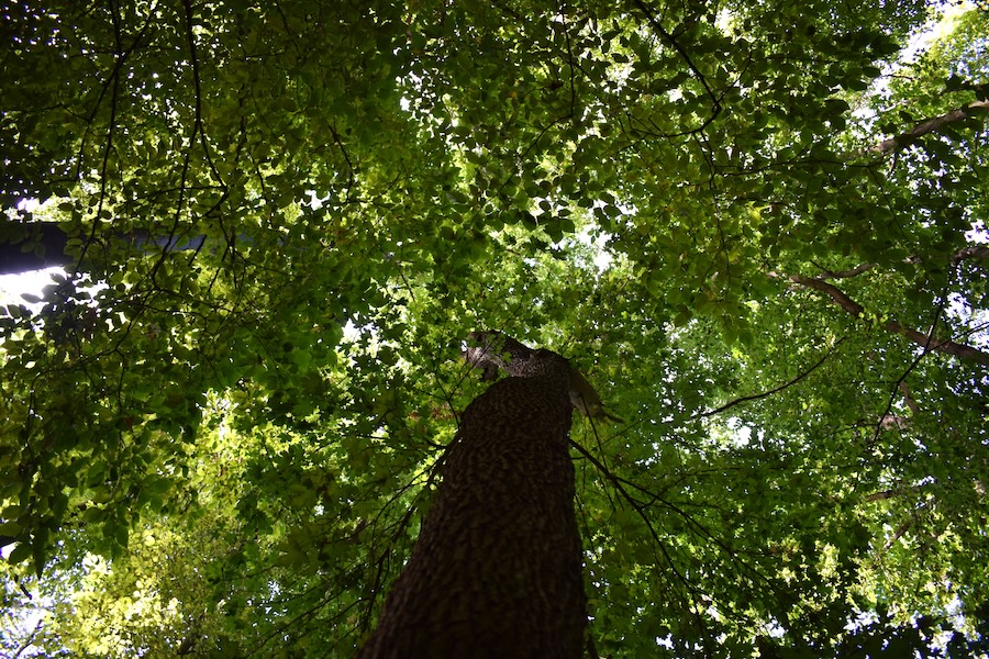
### Key feature: Structural diversity
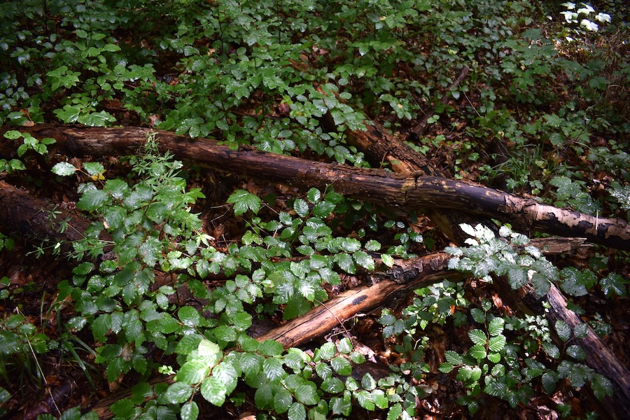
This forest section is characterised by particularly high structural richness. But what does actually contribute to structural diversity in forests? Key factors include tree species diversity, a multi-layered canopy structure, a range of different tree dimensions and age classes, deadwood, habitat trees, ditches, ponds, and microhabitats such as cavities in tree trunks. Over the past decade, German forests have, on average, become more structurally diverse.
Mixed-species forests now cover 79% of the forest area. 77 % of forests consist of two or more canopy layers. There are 7% more broadleaved forests than in 2012. These developments are primarily due to active forest conversion and thus to efforts aimed at enhancing the adaptive capacity of forests to climate change.
More [information](https://www.bmel.de/DE/themen/wald/wald-in-deutschland/bundeswaldinventur.html) is available in the results of the fourth federal forest inventory.
### Forest profile

#### Coverage of deadwood
**Large deadwood:** standing 0 %, lying down 0 %
**Medium deadwood:** standing 0 %, lying down 15 %
**Fine deadwood:** 20 %
**Rootstocks:** 5 pcs
*Number of old trees (BHD > 80cm):* 0
*Number of habitat trees:* *1*

#### Cover tree layers
**Tree layer 1:** 75 % (Rotbuche, Bergahorn, Feldahorn, Elsbeere, Hainbuche)
**Tree layer 2:** 10 % (Rotbuche, Elsbeere, Feldahorn)
**Tree layer 3:** 50 % (Rotbuche, Spitzahorn, Feldahorn)
**Herb layer:** 10 % (Gewöhnlicher Efeu, Wald-Labkraut, Wald-Segge, Hain-Veilchen, Ausdauerndes Bingelkraut)
**Growth classes:** 5

#### Other Information
no impairments found
**Relative crown distance:** closed to loose
**Mean crown defoliation:** 24 %
## Biosphere Reserve "Karstlandschaft Südharz" - Area 23a
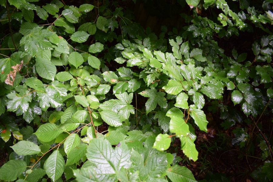 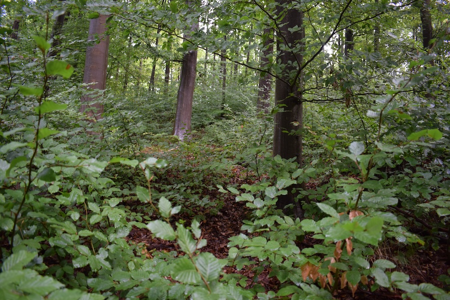 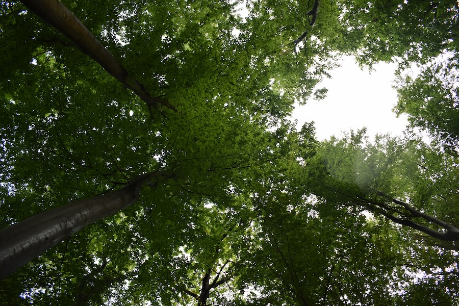
### Key feature: Canopy density 2
The canopy density in this forest section ranged from closed to lose. Canopy density is a measure of stand density and describes how closely tree crowns are spaced within a stand. The scale ranges from 1) crowded, where crowns interlock, through 3) loose, with a crown distance of up to one-third of the crown diameter, to 6) very spacious, where the distance is greater than one crown diameter. Canopy density influences both the competitive conditions among trees and the intensity of environmental impacts on individual trees. A higher canopy density may potentially influence crown thinning.
You can find more informationen [here](https://www.tuexenia.de/publications/tuexenia/Tuexenia_2025_NS_045_0073-0102.pdf).
### Forest profile

#### Coverage of deadwood
**Large deadwood:** standing 0 %, lying down 0 %
**Medium deadwood:** standing 0 %, lying down 5 %
**Fine deadwood:** 5 %
**Rootstocks:** 9 pcs
*Number of old trees (BHD > 80cm):* 0
*Number of habitat trees:* 0

#### Cover tree layers
**Tree layer 1:** 75 % (Rotbuche, Traubeneiche)
**Tree layer 2:** 0 %
**Tree layer 3:** 80 % (Rotbuche)
**Herb layer:** 5 % (Wald-Segge, Wald-Labkraut)
**Growth classes:** 5

#### Other Information
no impairments found
**Relative crown distance:** closed
**Mean crown defoliation:** 34 %
## Biosphere Reserve "Karstlandschaft Südharz" - Area 25a
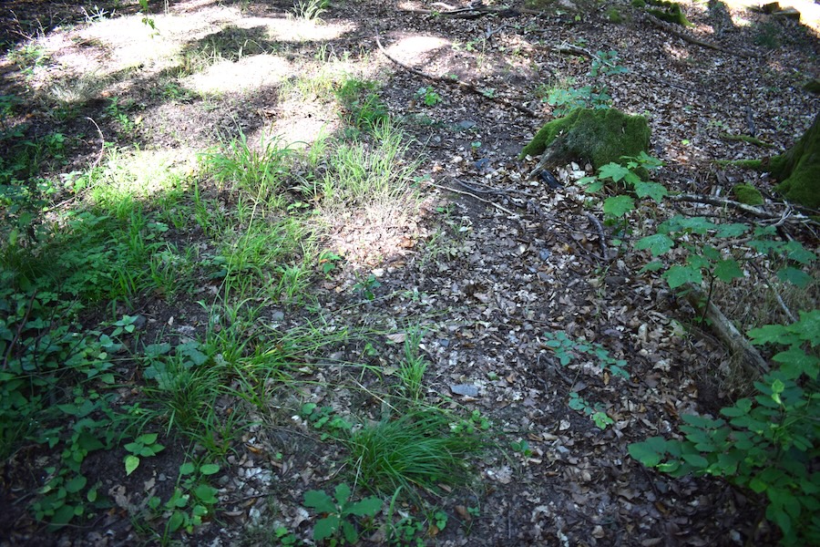 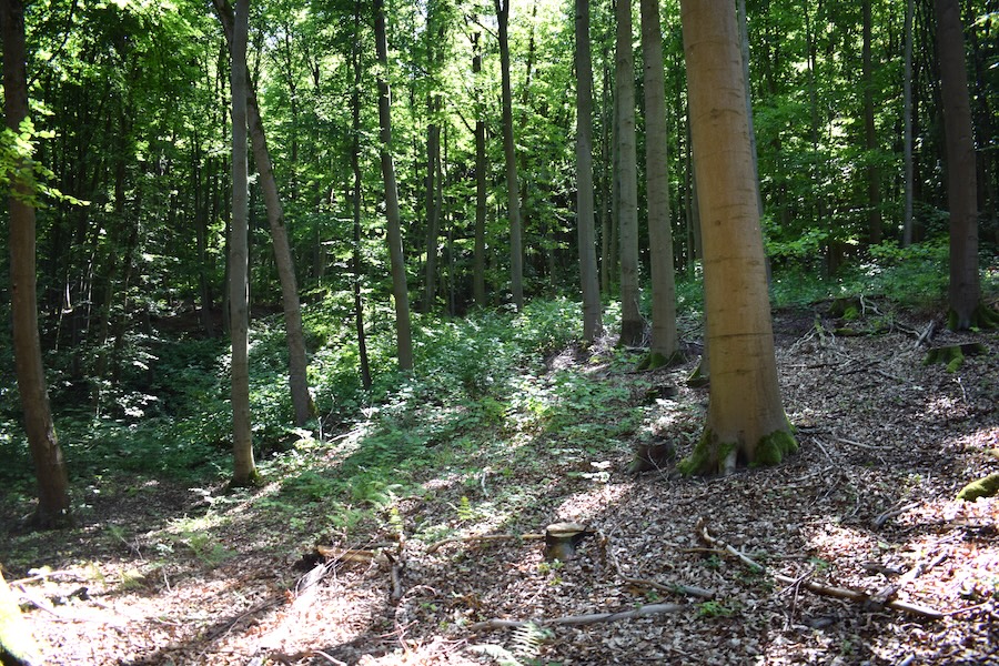 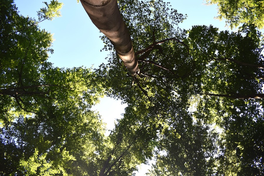
### Key feature: Rootstocks → Timber harvesting
In this forest section, we found a large number of rootstocks. A rootstock (or tree stump) is the remaining part of a tree after felling. Several trees were therefore cut here. But how much timber is actually harvested in Germany each year? Timber volumes are expressed in cubic metres (m³) or solid cubic metres (Festmeter), as the weight of wood depends heavily on the wood/baumarten, moisture content, and other factors. Furthermore, a distinction must be made between total reduction of stock and the utilised portion of this reduction. Between 2012 and 2022, a total reduction of stock of 110.1 million m³ per year (10.2 m³ per hectare per year) was recorded, which is 4% more than in the previous decade.
This is primarily due to the large-scale disturbance events that have occurred since 2018. Only part of this disturbance wood was utilised, as disturbance-damaged wood sometimes remains in the forest for various reasons. Between 2012 and 2022, an average of 72.6 million m³ of roundwood per year was utilised in Germany, which is less than between 2002 and 2012 (75.7 million m³ per year). The total reduction of stock has therefore increased, but utilisation has decreased.
The [summary of the Bundeswaldinventur](https://www.bundeswaldinventur.de/vierte-bundeswaldinventur-2022/zusammenfassung) provides more information.
### Forest profile

#### Coverage of deadwood
**Large deadwood:** standing 0 %, lying down 0 %
**Medium deadwood:** standing 0 %, lying down 0 %
**Fine deadwood:** 10 %
**Rootstocks:** 16 pcs
*Number of old trees (BHD > 80cm):* 0
*Number of habitat trees:* 0

#### Cover tree layers
**Tree layer 1:** 60 % (Rotbuche)
**Tree layer 2:** 2 % (Rotbuche)
**Tree layer 3:** 30 % (Gemeine Esche, Rotbuche, Bergahorn)
**Herb layer:** 15 % (Großes Hexenkraut, Einblütiges Perlgras, Echte Sternmiere, Wald-Ziest, Wald-Segge)
**Growth classes:** 5

#### Other Information
**Unintended effects of forest operations:** low (Rückegasse)
**Relative crown distance:** loose
**Mean crown defoliation:** 21 %
## Biosphere Reserve "Karstlandschaft Südharz" - Area 26a
### Key feature: Habitat trees
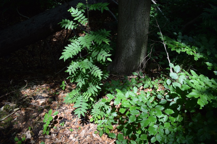
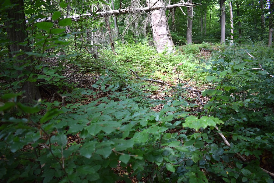
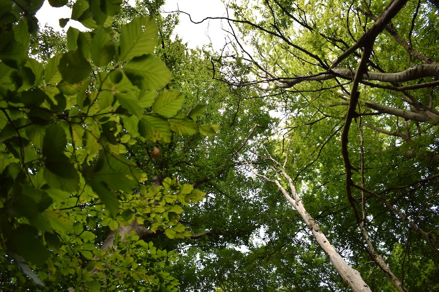
In this forest section, we found four habitat trees. Habitat trees are trees that provide at least one microhabitat – i.e., a small-scale or clearly delimited living space for other organisms. These include, for example, cavities, raptor nests, decay pockets, peeling bark, fungal brackets, or broken crowns. Habitat trees are of enormous ecological importance. They provide habitat for animals, plants, and fungi, serve as a food source for, for example, larvae, and thus have a major impact on forest biodiversity.
More interesting information provided by [Bundeswaldinventur](https://www.bundeswaldinventur.de/vierte-bundeswaldinventur-2022/lebensraum-wald#c56999) and in the [Merkblatt des LWF](https://www.lwf.bayern.de/mam/cms04/service/dateien/mb17-biotopbaeume-2019_bf.pdf).
### Forest profile

#### Coverage of deadwood
**Large deadwood:** standing 0 %, lying down 0 %
**Medium deadwood:** standing 0 %, lying down 5 %
**Fine deadwood:** 10 %
**Rootstocks:** 0 pcs
*Number of old trees (BHD > 80cm):* *1*
*Number of habitat trees:* *4*

#### Cover tree layers
**Tree layer 1:** 60 % (Rotbuche, Hainbuche, Traubeneiche)
**Tree layer 2:** 20 % (Hainbuche, Rotbuche)
**Tree layer 3:** 70 % (Rotbuche, Hainbuche)
**Herb layer:** 20 % (Einblütiges Perlgras, Schmalblättrige Hainsimse)
**Growth classes:** 6

#### Other Information
no impairments found
**Relative crown distance:**
**Mean crown defoliation:** 29 %
## Biosphere Reserve "Karstlandschaft Südharz" - Area 28a
  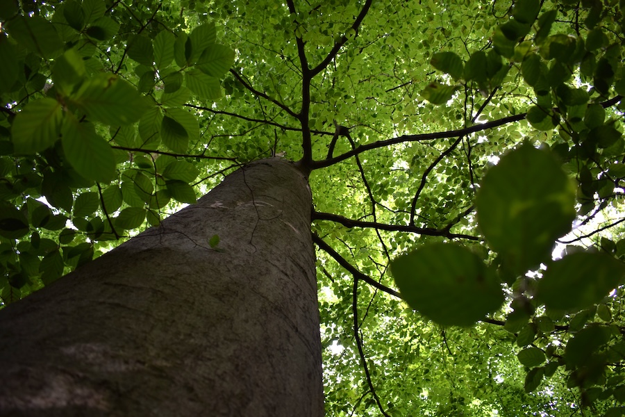
### Key feature: Fagus sylvatica → Tree of the Year
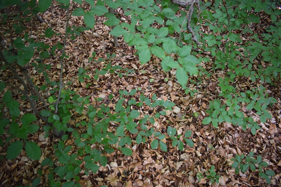
The dominant tree species in this forest section is Fagus sylvatica. Fagus sylvatica is one of the most common tree species in Germany and was named Tree of the Year in 2022. Each year, the "Tree of the Year – Dr. Silvius Wodarz Foundation" selects a tree species that is considers particularly valuable or interesting. In addition to the Tree of the Year, there are, for example, also Bird of the Year, Soil of the Year, or even Amphibian of the Year. These designations aim to bring certain species and habitats into focus, emphasise their importance, raise interest in nature conservation, and spread knowledge about the species.
More informationen is available on the [website Tree of the Year](https://baum-des-jahres.de/baeume-seit-1989/).
### Forest profile

#### Coverage of deadwood
**Large deadwood:** standing 0 %, lying down 0 %
**Medium deadwood:** standing 0 %, lying down 10 %
**Fine deadwood:** 5 %
**Rootstocks:** 4 pcs
*Number of old trees (BHD > 80cm):* 0
*Number of habitat trees:* *1*

#### Cover tree layers
**Tree layer 1:** 75 % (Rotbuche)
**Tree layer 2:** 25 % (Rotbuche)
**Tree layer 3:** 50 % (Rotbuche)
**Herb layer:** 1 % (Maiglöckchen, Gewöhnlicher Efeu)
**Growth classes:** 5

#### Other Information
no impairments found
**Relative crown distance:** loose
**Mean crown defoliation:** 26 %
## Biosphere Reserve "Karstlandschaft Südharz" - Area 29a
### Key feature: Crown defoliation
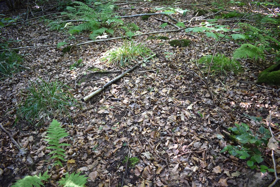
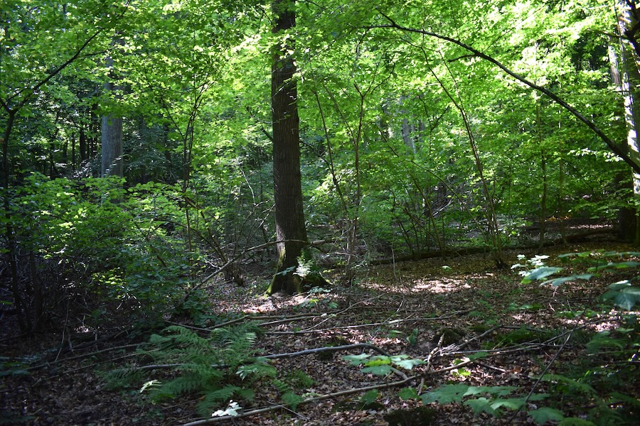
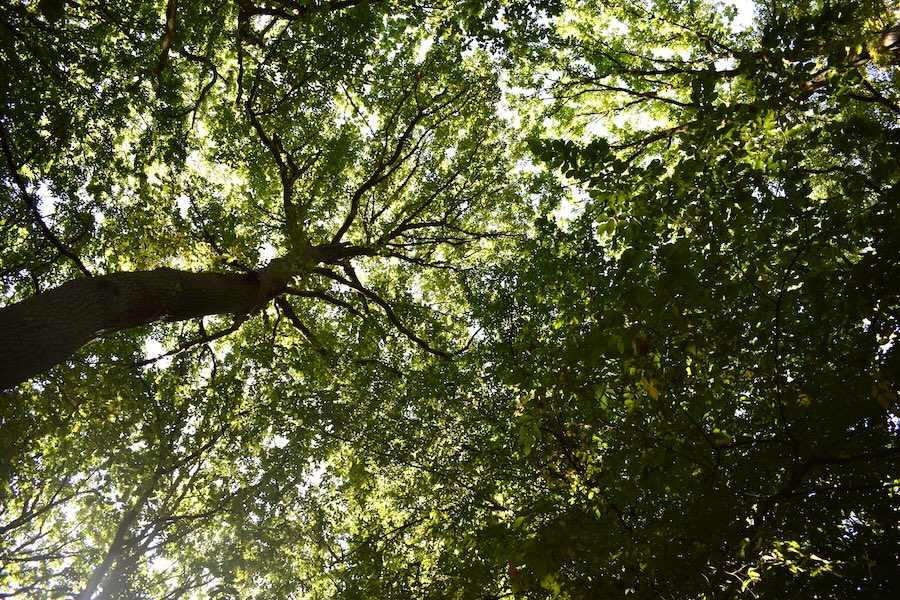
In this forest section, we recorded a relatively high mean crown thinning. Crown defoliation describes the visible and measurable needle or leaf loss of the tree crown compared to a fully needled or fully leaved healthy tree of the respective species. It is considered an important indicator of the vitality of forest trees and has been recorded annually since 1984 as part of the German Forest Condition Survey. Crown thinning can indicate tree damage or health. However, a thinned crown can have many causes. Some of the main influences include soil changes such as acidification and eutrophication, prolonged dry periods, insects and tree diseases, above-average fruit production, and advanced tree age.
More information can be found on the [website of the Federal Environment Agency](https://www.umweltbundesamt.de/daten/flaeche-boden-land-oekosysteme/land-oekosysteme/waldzustand-kronenverlichtung#ergebnisse-der-waldzustandserhebung) and the [BMLEH](https://www.bmleh.de/DE/themen/wald/wald-in-deutschland/waldzustandserhebung.html).
### Forest profile

#### Coverage of deadwood
**Large deadwood:** standing 0 %, lying down 0 %
**Medium deadwood:** standing 0 %, lying down 5 %
**Fine deadwood:** 5 %
**Rootstocks:** 2 pcs
*Number of old trees (BHD > 80cm):* 0
*Number of habitat trees:* *2*

#### Cover tree layers
**Tree layer 1:** 85 % (Traubeneiche)
**Tree layer 2:** 5 % (Rotbuche, Vogelbeere)
**Tree layer 3:** 50 % (Gemeine Hasel, Rotbuche)
**Herb layer:** 10 % (Waldmeister, Gewöhnlicher Wurmfarn)
**Growth classes:** 5

#### Other Information
no impairments found
**Relative crown distance:** closed to loose
**Mean crown defoliation:** 45 %
## Biosphere Reserve "Karstlandschaft Südharz" - Area 30a
### Key feature: Veteran trees → Germany's oldest tree
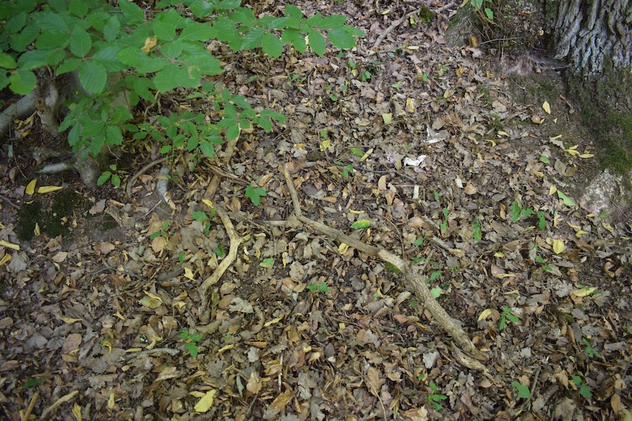
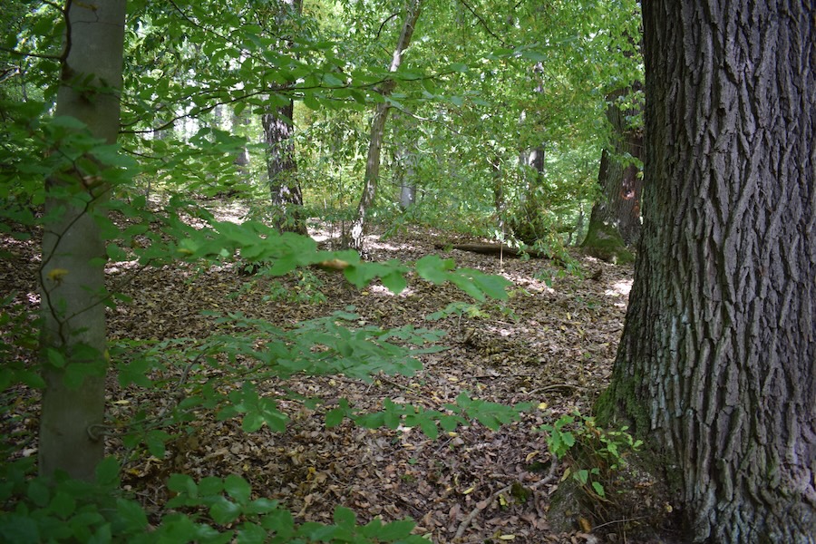
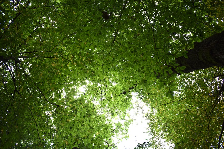
In this forest section, we found four veteran trees. Veteran trees are trees with a diameter at breast height (DBH) of more than 80 cm. The likely oldest tree in Germany is located in the Hessian municipality of Schenklengsfeld. It is a Tilia platyphyllos, estimated to be over 1,200 years old. However, age estimation of such an old tree can be tricky, even for experts. Over time, trunks can split and partially die back, as it is the case with the Tilia platyphyllos in Schenklengsfeld. Today, it consists of four stem sections, which together have a circumference of approximately 18 metres. The tree's crown diameter measures a full 25 metres. To ensure that this ancient tree survives for many more years, its heavy branches are supported by a beam framework maintained by the municipality.
The [Baumpflegeportal](https://www.baumpflegeportal.de/baumwissen/hoechster-dickster-aeltester-baum-deutschlands/), the [Forstpraxis](https://www.forstpraxis.de/deutschlands-aeltester-baum-1200-jahre-alte-linde-mittelalter-24063) and the [Gemeinde Schenklengsfeld](https://www.schenklengsfeld.de/verzeichnis/objekt.php?mandat=97354) provide more informationen about the oldest Tree.
### Forest profile

#### Coverage of deadwood
**Large deadwood:** standing 0 %, lying down 0 %
**Medium deadwood:** standing 0 %, lying down 5 %
**Fine deadwood:** 5 %
**Rootstocks:** 1 pcs
*Number of old trees (BHD > 80cm):* *4*
*Number of habitat trees:* *1*

#### Cover tree layers
**Tree layer 1:** 75 % (Fagus sylvatica, Quercus petraea)
**Tree layer 2:** 25 % (Fagus sylvatica, Hainbuche)
**Tree layer 3:** 40 % (Acer pseudoplatanus, Fraxinus excelsior, Carpinus betulus, Fagus sylvatica)
**Herb layer:** 0 %
**Growth classes:** 5

#### Other Information
no impairments found
**Relative crown distance:** loose
**Mean crown defoliation:** 32.5 %
## Fläche 31a
 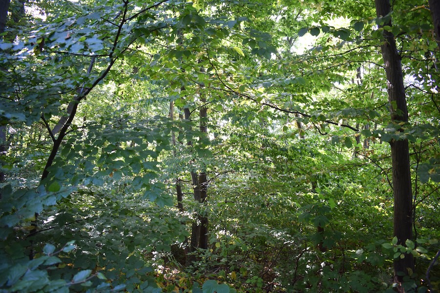 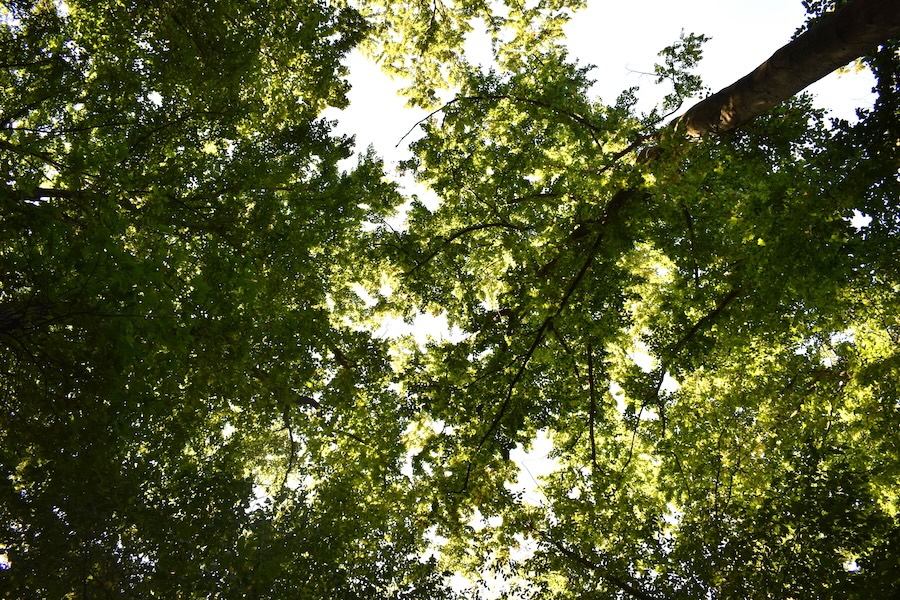
### Key feature: Layers („storeys of the forest“)
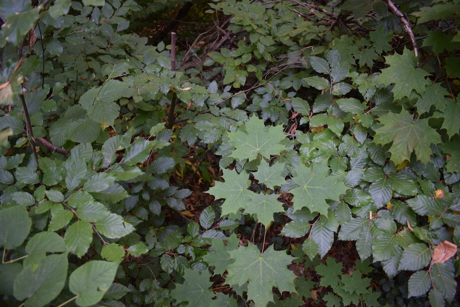
This forest section is comparatively rich in structure. In addition to deadwood, the various layers or „storeys“ of the forest also contribute to structural diversity. Examining the vertical structure of the woodland reveals the following layers: root layer, moss layer, herb layer, shrub layer, and canopy layer. Each of these layers is associated with distinct environmental conditions and characteristics, providing habitat for a variety of plant, fungal, and animal species. By the way: So far research on the canopy layer remains comparatively limited (Wildermuth 2024) ([Wildermuth 2024](http://dx.doi.org/10.53846/goediss-10457)).
Read more in the flyer [„Unser Wald“](https://www.bmleh.de/SharedDocs/Downloads/DE/Broschueren/unser-wald-2022.html)
### Forest profile

#### Coverage of deadwood
**Large deadwood:** standing 0 %, lying down 0 %
**Medium deadwood:** standing 0 %, lying down 5 %
**Fine deadwood:** 5 %
**Rootstocks:** 6 pcs
*Number of old trees (BHD > 80cm):* 0
*Number of habitat trees:* *2*

#### Cover tree layers
**Tree layer 1:** 70 % (Rotbuche, Traubeneiche, Sommerlinde)
**Tree layer 2:** 5 % (Hainbuche)
**Tree layer 3:** 80 % (Rotbuche, Sommerlinde)
**Herb layer:** 40 % (Maiglöckchen, Ausdauerndes Bingelkraut, Gewöhnlicher Efeu)
**Growth classes:** 6

#### Other Information
no impairments found
**Relative crown distance:** loose to sparse
**Mean crown defoliation:** 22.5 %
## Biosphere Reserve "Karstlandschaft Südharz" - Area 33a
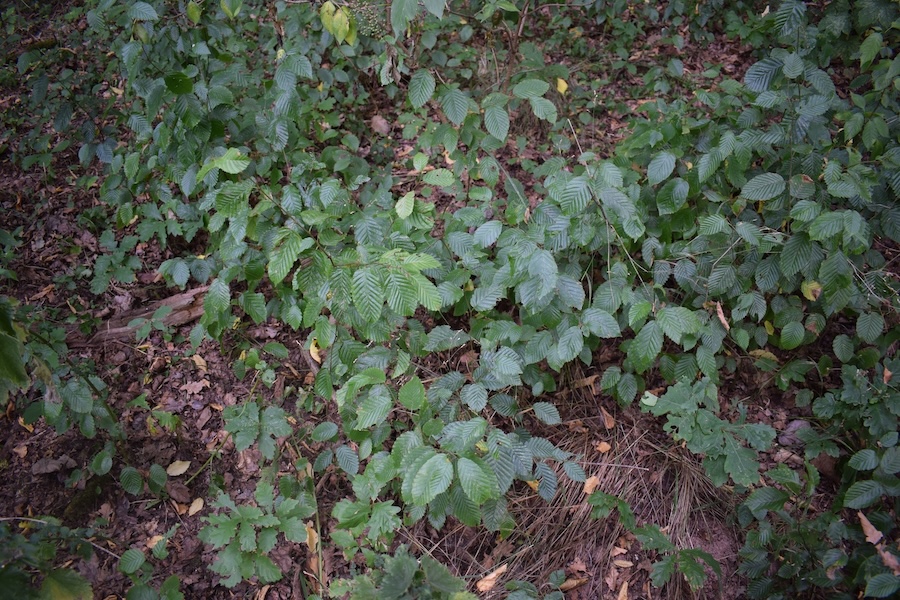 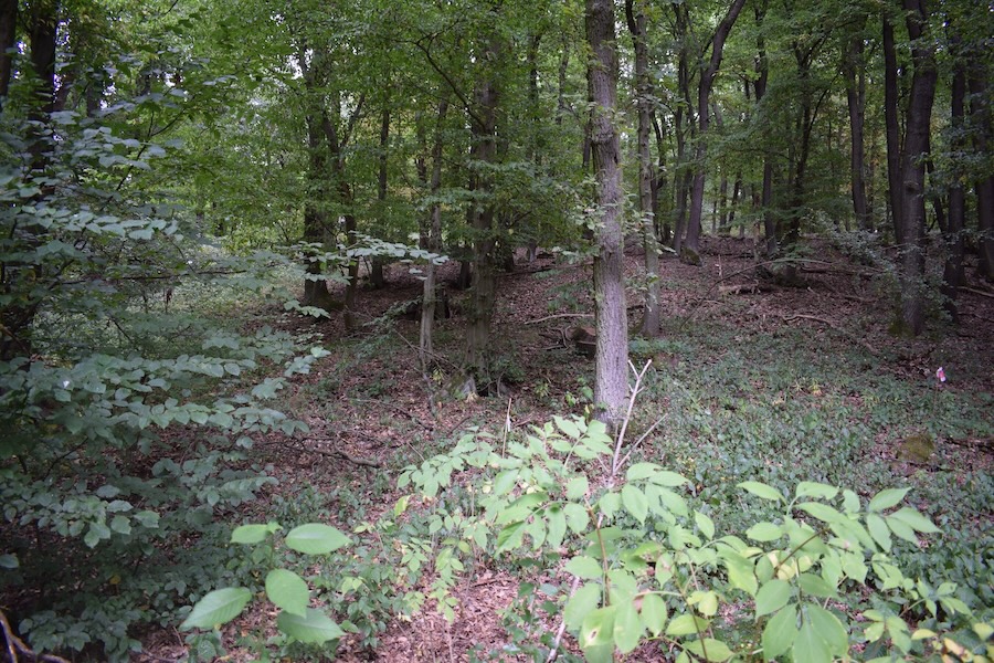 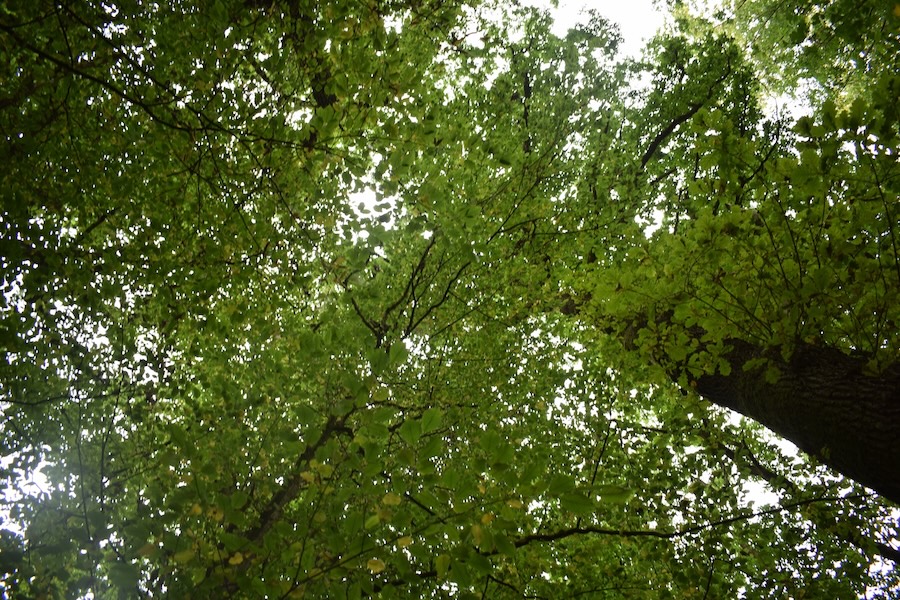
### Key feature: Growth classes
In this section of the forest, we recorded six different growth classes or age stages of trees. Meaning that trees of different age groups were present. The presence of multiple growth classes indicates a rather natural situation of growth classes. This can enhance forest stability, as structural diversity can, for example, increase the forest’s resistance to storm damage. While large and very large timber is ecologically particularly valuable and can provide microhabitats for other species, regeneration, thicket stage trees, pole stage trees, as well as small and medium-sized timber ensure the continuity of the forest. Through the interaction of different age stages, a diverse habitat is created for a wide variety of animal, plant, and fungal species.
The [Bundeswaldinventur](https://www.bundeswaldinventur.de/vierte-bundeswaldinventur-2022/hintergrundinformationen#c57032?target=_blank) provides more information.
### Forest profile

#### Coverage of deadwood
**Large deadwood:** standing 0 %, lying down 0 %
**Medium deadwood:** standing 0 %, lying down 5 %
**Fine deadwood:** 5 %
**Rootstocks:** 9 pcs
*Number of old trees (BHD > 80cm):* 0
*Number of habitat trees:* *1*

#### Cover tree layers
**Tree layer 1:** 75 % (Hainbuche, Traubeneiche, Stieleiche)
**Tree layer 2:** 10 % (Bergahorn, Hainbuche)
**Tree layer 3:** 40 % (Hainbuche, Schwarzer Holunder, Traubeneiche)
**Herb layer:** 15 % (Echte Sternmiere, Stinkender Storchschnabel, Türkenbundlilie, Brennnessel)
**Growth classes:** 7

#### Other Information
**Disturbance indicator species:** low (Brennnessel)
**Relative crown distance:** loose
**Mean crown defoliation:** 36 %
## Biosphere Reserve "Karstlandschaft Südharz" - Area 35a
### Key feature: Neophyten (Allgemein)
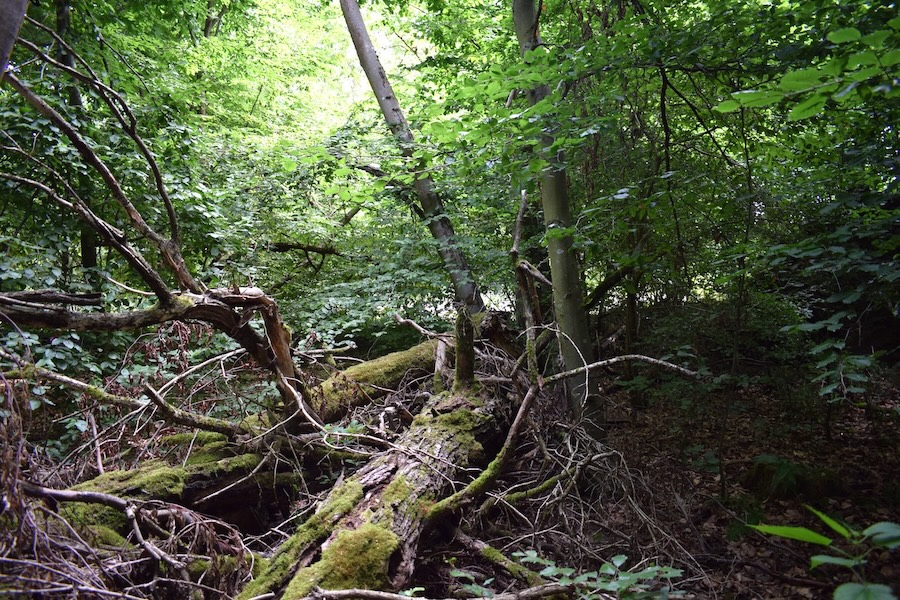
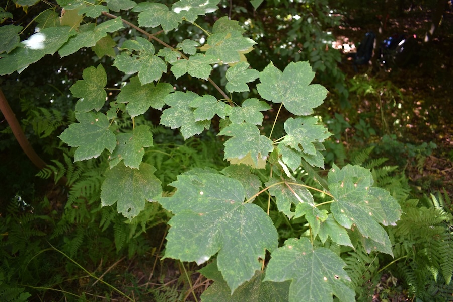
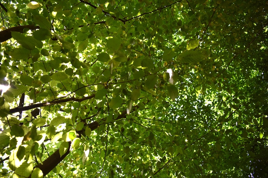
Im diesem Waldausschnitt haben wir den Adlerfarn (Pteridium aquilinum) erfasst. Der Adlerfarn bildet oft große Dominanzbestände und wirkt dadurch manchmal wie ein invasiver Neophyt. Als Neophyten werden Pflanzen bezeichnet, die nach 1492 – dem Jahr der Entdeckung Amerikas durch Christoph Kolumbus – vom Menschen in Gebiete eingeführt wurden, in denen sie natürlicherweise nicht vorkamen.
Die Hälfte der bei uns etablierten Neophyten wurde beabsichtigt eingeführt – die meisten davon als Zierpflanzen (insgesamt ca. 30 % aller Neophyten) und die übrigen Arten als land- und forstwirtschaftliche Nutzpflanzen (20 % der Neophyten, z. B. Kartoffel, Mais und Tomate). Der Rest wurde unbeabsichtigt eingeschleppt, beispielsweise als ungewollte Beimischung beim Saatgut. Nur wenige eingeführte Arten können in unserem Klima selbständig überleben und noch weniger Arten sind hier ausbreitungsstark.
Die ausbreitungsstarken Arten können nach ihrer Einschleppung allerdings zu verschiedenen Problemen führen und werden als invasive Arten bezeichnet. Beim Adlerfarn handelt es sich allerdings um eine einheimische Art. Er breitet sich vor allem in sehr lichten Waldbeständen und auf Kahlflächen stark aus. Mehr lesen Sie auf folgender [Seite](https://www.lfu.bayern.de/natur/neobiota/neophyten/index.htm).
### Forest profile

#### Coverage of deadwood
**Large deadwood:** standing 0 %, lying down 0 %
**Medium deadwood:** standing 0 %, lying down 10 %
**Fine deadwood:** 10 %
**Rootstocks:** 3 pcs
*Number of old trees (BHD > 80cm):* 0
*Number of habitat trees:* 0

#### Cover tree layers
**Tree layer 1:** 30 % (Rotbuche)
**Tree layer 2:** 50 % (Rotbuche, Hainbuche)
**Tree layer 3:** 50 % (Hainbuche, Rotbuche, Gemeine Hasel, Gewöhnlicher Schneeball, Schlehe)
**Herb layer:** 20 % (Waldmeister, Echte Sternmiere, Adlerfarn, Wald-Labkraut, Kriechender Günsel)
**Growth classes:** 5

#### Other Information
**Abiotic impacts:** low (Windwurf)
**Relative crown distance:** loose to sparse
**Mean crown defoliation:** 34 %
## Biosphere Reserve "Karstlandschaft Südharz" - Area 36a
### Key feature: Neophyten (Invasive Arten)
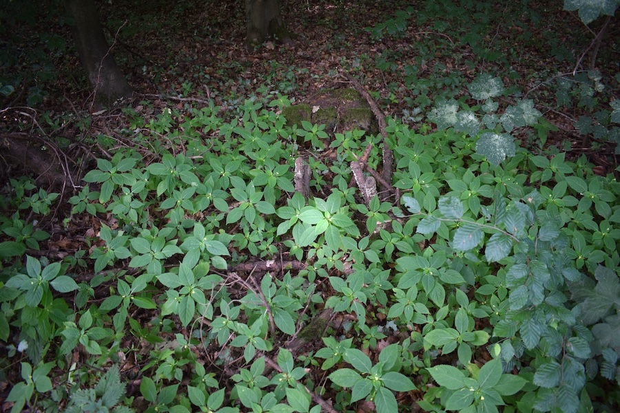
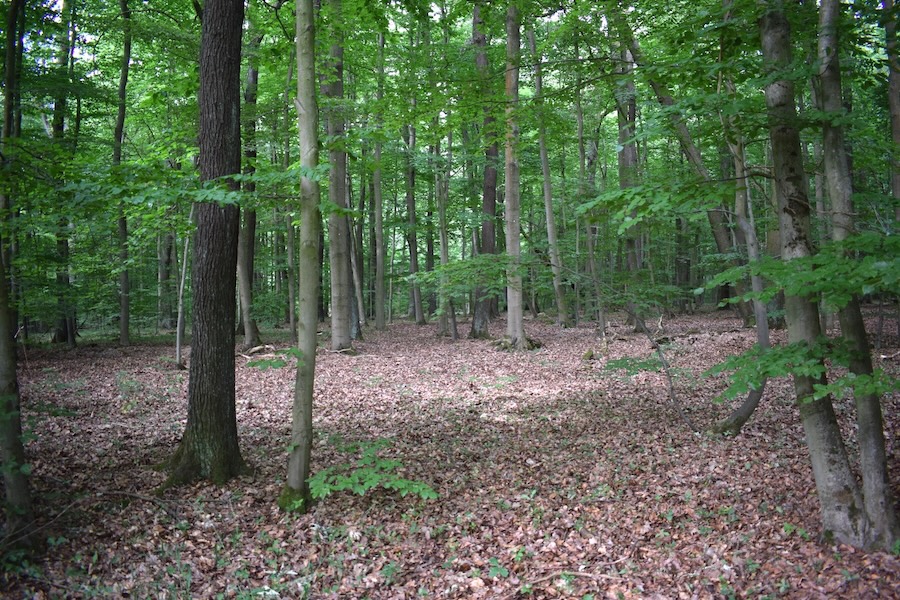
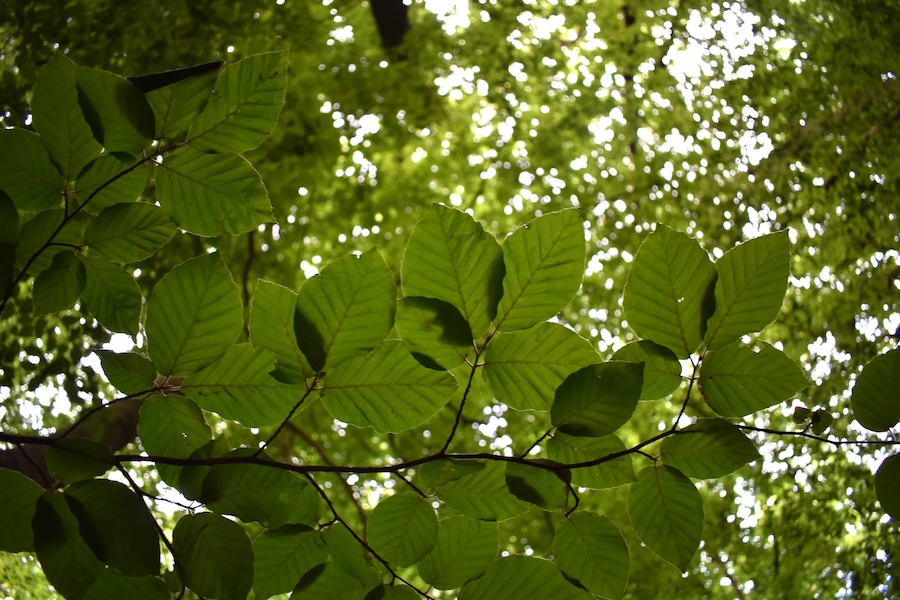
In diesem Waldausschnitt haben wir einige wenige Pflanzen des Kleinblütigen Springkrauts (Impatiens parviflora) gefunden. Diese Art gilt in Deutschland als invasiver Neophyt. Neophyten sind Arten, die nach 1492 vom Menschen in Gebiete eingeführt wurden, in denen sie natürlicherweise nicht vorkamen. Als invasiv gelten diese Arten dann, wenn sie unerwünschte Auswirkungen auf andere Arten, Lebensgemeinschaften oder Biotope haben. Das ist zum Beispiel dann der Fall, wenn sie sich stark ausbreiten und dabei in Konkurrenz mit heimischen Arten treten. Oft werden dadurch heimische Arten verdrängt und die Biodiversität reduziert. Einige invasive Arten können auch Gesundheitsprobleme beim Menschen verursachen (z. B. Riesenbärenklau, Beifuß-Ambrosie) oder Schäden an Infrastruktur anrichten (z. B. Japanischer Staudenknöterich). Mehlesen Sie auf folgender \[Seite\](https://www.bfn.de/grundwissen-ueber-neobiota; https://www.bund.net/themen/tiere-pflanzen/invasive-arten/)
### Forest profile

#### Coverage of deadwood
**Large deadwood:** standing 0 %, lying down 0 %
**Medium deadwood:** standing 0 %, lying down 0 %
**Fine deadwood:** 5 %
**Rootstocks:** 9 pcs
*Number of old trees (BHD > 80cm):* 0
*Number of habitat trees:* *1*

#### Cover tree layers
**Tree layer 1:** 80 % (Traubeneiche, Rotbuche)
**Tree layer 2:** 20 % (Rotbuche)
**Tree layer 3:** 25 % (Rotbuche, Traubeneiche, Bergahorn, Schwarzer Holunder)
**Herb layer:** 20 % (Echte Sternmiere, Stinkender Storchschnabel, Kleinblütiges Springkraut, Wald-Flattergras)
**Growth classes:** 6

#### Other Information
no impairments found
**Relative crown distance:** closed to loose
**Mean crown defoliation:** 40 %
## Biosphere Reserve "Karstlandschaft Südharz" - Area 3a
### Key feature: At what point is a forest considered a forest?
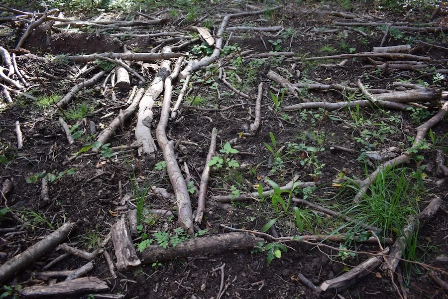
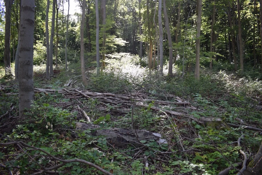
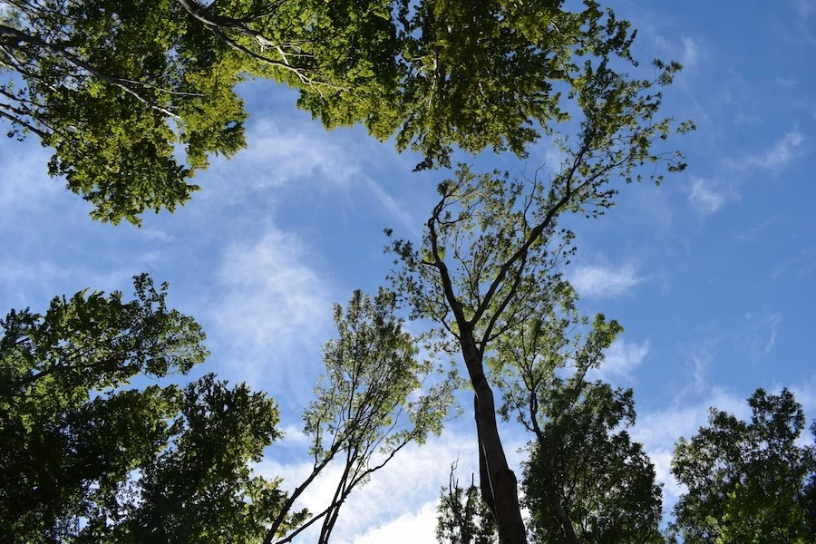
This forest section is rather open with gaps, as several trees have died. This may prompt the question: Is this still a forest? Or, more fundamentally: when does an area of trees qualify as a forest? A forest is defined as a tree-dominated area of sufficient extent to allow the development of a characteristic forest interior climate (i.e., reduced radiation, higher humidity, moderated temperatures, and reduced wind exposure). This is not the case, for example, with tree-lined avenues, parklands, or tree nurseries. § 2 of the German Federal Forest Act (Bundeswaldgesetz) defines forest as any area of land stocked with forest plants (including forest areas temporarily without trees), forest roads, timber storage sites, and other areas associated with forests (BWI 4).
Read more background information on [Bundeswaldinventur](https://www.bundeswaldinventur.de/vierte-bundeswaldinventur-2022/hintergrundinformationen#c57030)
### Forest profile

#### Coverage of deadwood
**Large deadwood:** standing 0 %, lying down 0 %
**Medium deadwood:** standing 0 %, lying down 40 %
**Fine deadwood:** 30 %
**Rootstocks:** 4 pcs
*Number of old trees (BHD > 80cm):* *1*
*Number of habitat trees:* 0

#### Cover tree layers
**Tree layer 1:** 30 % (Rotbuche, Gemeine Esche)
**Tree layer 2:** 0 %
**Tree layer 3:** 50 % (Rotbuche, Gemeine Hasel, Rote Heckenkirsche)
**Herb layer:** 25 % (Stinkender Storchschnabel, Kletten-Labkraut, Gewöhnliche Goldnessel, Wald-Segge)
**Growth classes:** 4

#### Other Information
**Unintended effects of forest operations:** high (Rückegasse, Auflichtung)
**Relative crown distance:** sparse
**Mean crown defoliation:** 41 %
[Back](https://www.meinewaldki.de/en/waldwissen)
- [Privacy policy](https://www.meinewaldki.de/en/datenschutz)
- [Accessibility](https://www.meinewaldki.de/en/barrierefreiheit)
- [Imprint](https://www.meinewaldki.de/en/impressum)
Contact
Hochschule Anhalt
Lohmannstraße 23
06366 Köthen
Hochschule Anhalt
Strenzfelder Allee 28
06406 Bernburg (Saale)
Press
Verena Arndt
[03471 355 1280](tel:+4934713551280)
Copyright © Hochschule Anhalt
 

Follow us on:
[  ](https://www.instagram.com/meinewaldki/)
---
## Navigation
- Parent: [Forest Knowledge](https://www.meinewaldki.de/en/waldwissen.md)
- Next: [Dölauer Heide (Stadt Halle)](https://www.meinewaldki.de/en/waldwissen/doelauer-heide.md)